What is recorded here
Marked as a rectangular feature (dims c. 30m NW-SE; c. 25m NE-SW) on the 1839 ed. of the OS 6-inch map and a subrectangular moated site (ext. dims c. 50m NW-SE; c. 45m NE-SW) on the 1940 ed. It is located on a W-facing slope. This is a rectangular grass and scrub-covered area (dims. 28m NE-SW; 25m NW-SE) defined by a flat bottomed moat (Wth 6m; D 1m) on all sides except the N where it has been truncated by farm buildings. There is an inner bank (Wth 4m; H 0.3m) at W.
The above description is derived from the published 'Archaeological Inventory of County Wexford' (Dublin: Stationery Office, 1996). In certain instances the entries have been revised and updated in the light of recent research.
Compiled by: Michael Moore
Date of upload/revision: 11 July 2012
The monument record does not grant public access. Check the route and ask the landowner before entering private land.
- What survives
- Recorded monument
Places near here
 Fulacht fia in Monroe (ballaghkeen By., Edermine Ed)Fulacht fia · 876 yd
 Habitation site in Ballycourcy MoreHabitation site · 1155 yd
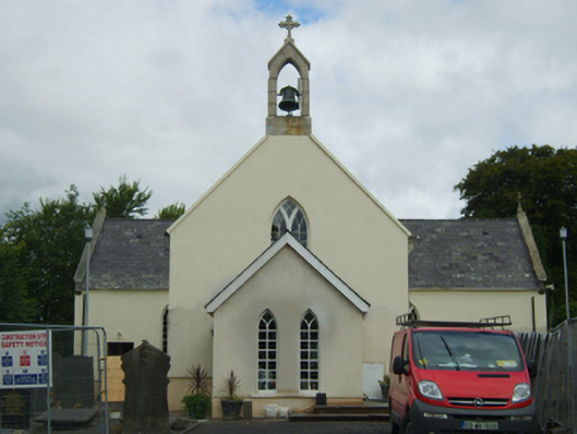 Saint Peter's Catholic Churchchurch/chapel · 1760 yd
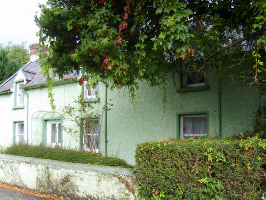 Glenbrien Househouse · 1.1 mi
 Scurlocksbush HillMountain / peak · 1.3 mi
 Black Castle (in ruins)Castle, tower house · 1.6 mi
 IndicatedCastle, motte · 1.8 mi
 National 1798 CentreMuseum · 2.8 mi
 Battle of Vinegar HillMajor battlefield · 3.1 mi
 Duffry GateMemorial · 3.2 mi
 U.N. Peace MemorialMonument · 3.2 mi
 Raheennahoon HillMountain / peak · 6.7 mi