
What is recorded here
Identified in centre-line testing (E4110) in advance of the M11 Gorey to Enniscorthy road scheme and set aside for resolution as Ballycourcy More 2 (Hardy et al. 2010, 95-7). It is situated on a level landscape with a small S-N stream c. 120m to the E. The site was excavated (E4268) by D. Gallagher who uncovered the complex remains of a prehistoric settlement represented by numerous post and stake-holes, pits, two hearths and three slot-trenches in a confined area (dims c. 15m N-S; c. 15m E-W). There were possible outlying structures, and the features were cut by post-medieval furrows and drains. Two subcircular hut-sites (dims 5m x 3-4m: 5m x 4m) are identified in clusters of stake-holes, which may represent the repeated replacement of temporary structures and which could be middle Neolithic in date. There is a possible rectangular structure (dims 8m x 7m) with a central hearth nearby, and two other possible rectangular structures are in the vicinity. The fulacht fia (WX026-087----) is c. 145m to the NNE and the rectangular enclosure (WX026-057----) is c. 80m to the W. (Rajic and Hardy 2013; Gallagher 2013)
Compiled by: Michael Moore
Date of upload: 29 November, 2013
The monument record does not grant public access. Check the route and ask the landowner before entering private land.
- What survives
- Recorded monument
Places near here
 Enclosure in Ballycourcy MoreEnclosure · 109 yd
 Fulacht fia in Ballycourcy MoreFulacht fia · 154 yd
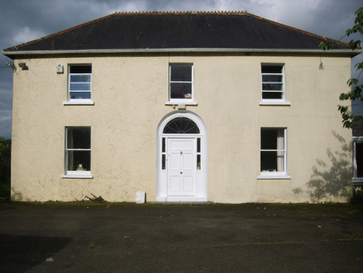 Annefield Cottagefarm house · 1602 yd
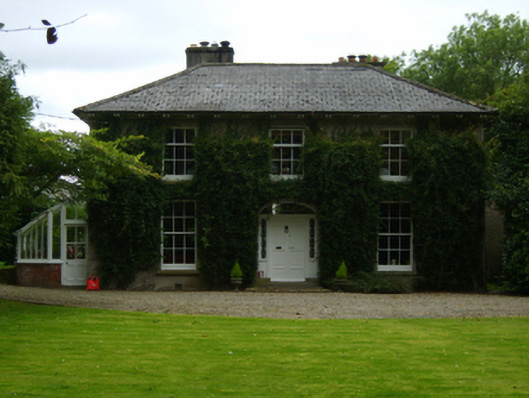 Aughnagalley Housefarm house · 1.1 mi
 IndicatedCastle, motte · 1.5 mi
 Vinegar HillMountain / peak · 2.1 mi
 Battle of Vinegar Hill, 1798Monument · 2.2 mi
 National 1798 CentreMuseum · 2.4 mi
 CastleCastle, ringwork · 2.4 mi
 Battle of Vinegar HillMajor battlefield · 2.6 mi
 Duffry GateMemorial · 2.7 mi
 U.N. Peace MemorialMonument · 2.7 mi
Other information
Photo: Credit not shown in the picture search · Rights wording not checked; contact us if this picture should be removed