
What is recorded here
Identified in centre-line testing (E4110) in advance of the M11 Gorey to Enniscorthy road scheme and set aside for resolution as Ballycourcy More 1 (Hardy et al. 2010, 95-6). It is situated on a level landscape with a small S-N stream c. 15m to the E. It was partially excavated (E4267) by D. Gallagher who uncovered the remains of a severely truncated fulacht fia. It consisted of a subrectangular trough (dims 1.9mNW-SE; 1.3-1.45m NE-SW; D 0.33-0.47m) with nine stake-holes in the corners, suggesting it may have been wood-lined although no trace survived. Only slight traces of burnt mound material filled the trough, but the mound is probably outside the excavated area to the NE. There were three stake-holes just SE of the trough, and seven stake-holes and three post-holes were in an area (dims c. 2m x c. 2m) NW of the trough. Three pits were within 1m of the trough to the NE (dims 0.46m x 0.44m; D 0.16m), SE (dims 0.69m x 0.55m; D 0.22m), and SW (dims 0.45m x 0.3m; D 0.15m). A charcoal sample from a fill of the trough produced a C14 date of Cal. BC 1449-1316. The prehistoric habitation site (WX026-088----) is c. 145m to the SSW and the rectangular enclosure (WX026-057----) is c. 170m to the SW. (McNamara and Ruttle 2011; Gallagher 2013)
Compiled by: Michael Moore
Date of upload: 29 November, 2013
The monument record does not grant public access. Check the route and ask the landowner before entering private land.
- What survives
- Recorded monument
Places near here
 Habitation site in Ballycourcy MoreHabitation site · 154 yd
 Enclosure in Ballycourcy MoreEnclosure · 205 yd
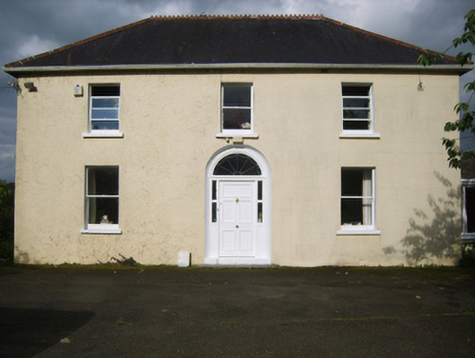 Annefield Cottagefarm house · 1512 yd
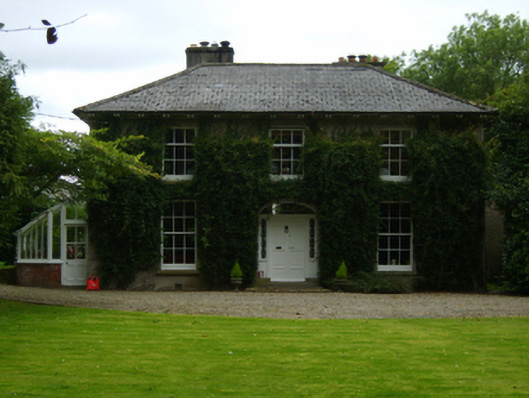 Aughnagalley Housefarm house · 1.0 mi
 IndicatedCastle, motte · 1.5 mi
 Vinegar HillMountain / peak · 2.1 mi
 Battle of Vinegar Hill, 1798Monument · 2.1 mi
 National 1798 CentreMuseum · 2.3 mi
 CastleCastle, ringwork · 2.5 mi
 Battle of Vinegar HillMajor battlefield · 2.5 mi
 Duffry GateMemorial · 2.7 mi
 U.N. Peace MemorialMonument · 2.7 mi
Other information
Photo: Credit not shown in the picture search · Rights wording not checked; contact us if this picture should be removed