
What is recorded here
Situated at the S edge of a plateau, and at the crest of the S-facing slope of a ravine with the NE-SW stream c. 80m to the S. The motte is probably the caput of the Prendergast fief of Schyrmal held by two and half knights fees (Colfer 2002, 106). This is a flat-topped tree and scrub-covered mound (diam. of top 26m; diam. of base c. 45m; H 9m) defined by fosse (Wth 9m; D 2.5-3m). It is surrounded by houses SE-SW and by a road SW-N. Archaeological testing (98E0326) c. 75m to the SW produced no related material (Bennett 2000) and testing (03E0943) immediately to the SW had the same result (McLoughlin 2006).
The above description is derived from the published 'Archaeological Inventory of County Wexford' (Dublin: Stationery Office, 1996). In certain instances the entries have been revised and updated in the light of recent research.
Compiled by: Michael Moore
Date of upload/revision: 12 July 2012
The castle at Salville or Motabeg was likely built by the Prendergast family, who held the fief of Schyrmal in the medieval period. It is remembered as a strategic defensive site, possibly controlling movement across the landscape due to its position on a plateau and near a stream.
The monument record does not grant public access. Check the route and ask the landowner before entering private land.
- What survives
- Recorded monument
Places near here
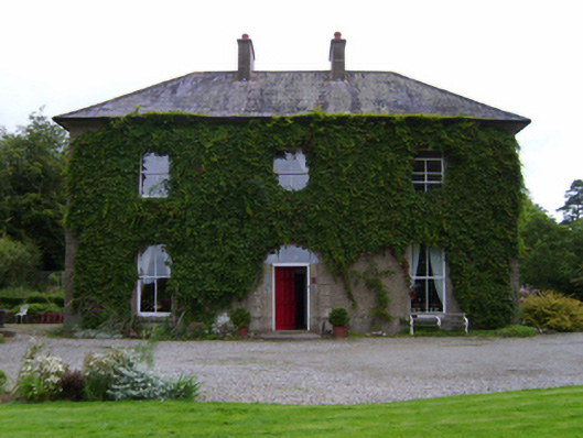 Salville House, SALVILLE OR MOTABEGfarm house · 169 yd
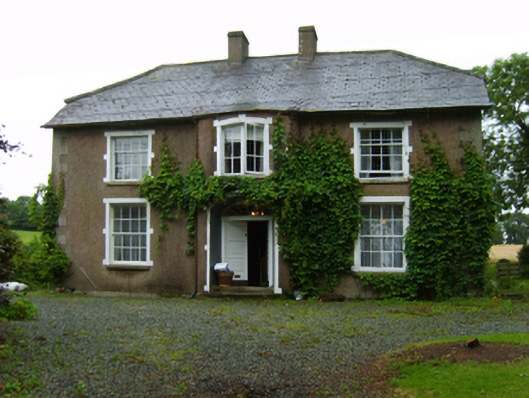 farm house, CREFOGEfarm house · 517 yd
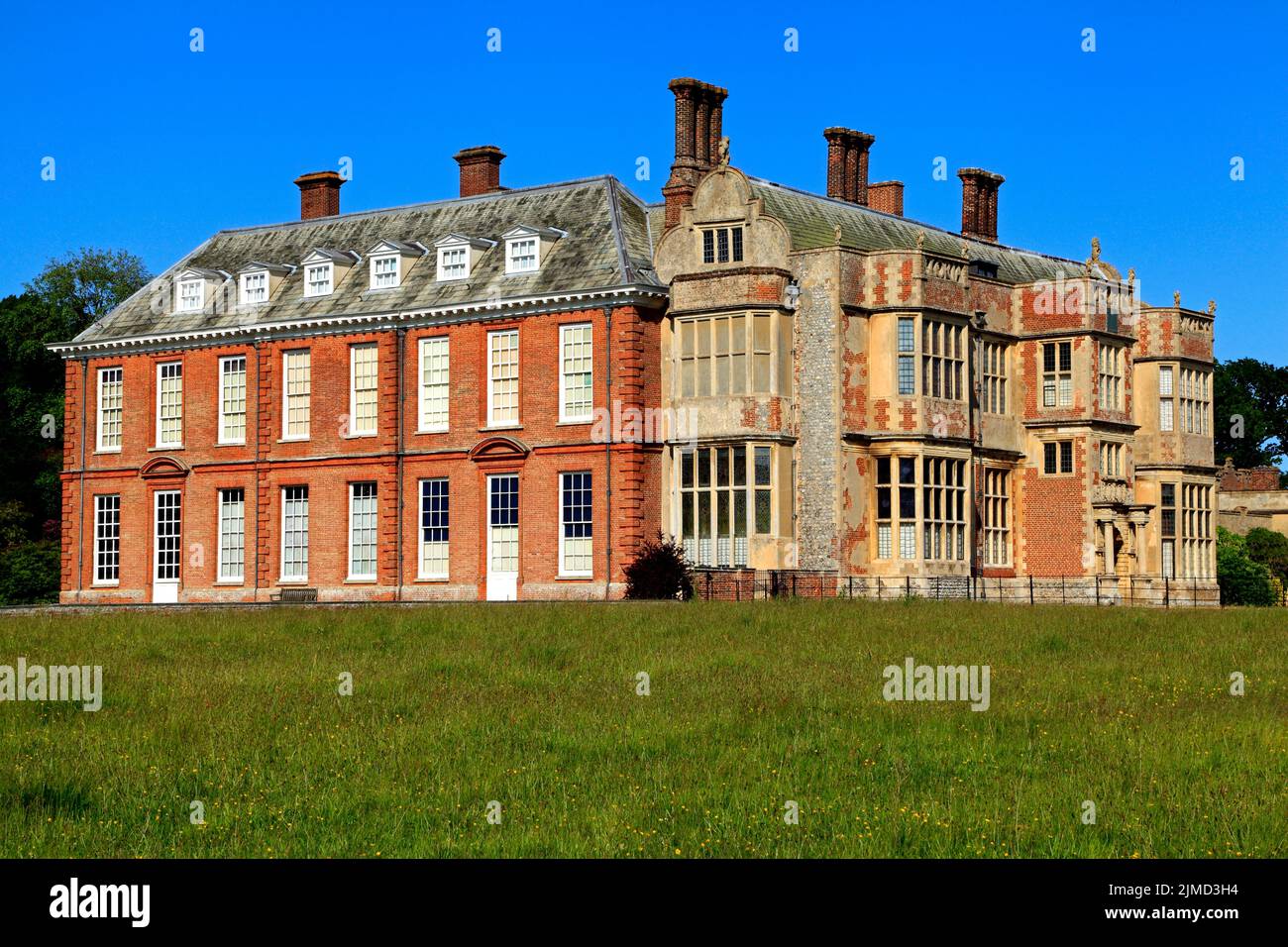 House, 17th century in St. John'sHouse, 17th century · 988 yd
 Enclosure in AughnagalleyEnclosure · 1001 yd
 National 1798 CentreMuseum · 1.1 mi
 Castle, ringwork in DunanoreCastle, ringwork · 1.2 mi
 Enniscorthy CastleMuseum · 1.4 mi
 Vinegar HillMountain / peak · 1.4 mi
 Battle of Vinegar HillMajor battlefield · 1.4 mi
 Battle of Vinegar Hill, 1798Monument · 1.4 mi
 Duffry GateMemorial · 1.5 mi
 U.N. Peace MemorialMonument · 1.6 mi
Other information
Photo: Credit not shown in the picture search · Rights wording not checked; contact us if this picture should be removed