What is recorded here
Situated on a prominent rock outcrop rise on the S bank of the W-E Boro River, with the river curving around it W-N-E. This is a raised triangular area in a coniferous forest. It is to the S of and backing on to a cliff edge (H c. 20m) that is aligned NE-SW. It is a D-shaped or sub-triangular area (dims. 38m E-W; 36m…
Read the whole record
Situated on a prominent rock outcrop rise on the S bank of the W-E Boro River, with the river curving around it W-N-E. This is a raised triangular area in a coniferous forest. It is to the S of and backing on to a cliff edge (H c. 20m) that is aligned NE-SW. It is a D-shaped or sub-triangular area (dims. 38m E-W; 36m N-S) defined by an earthen bank at E and S (Wth 9m; int. H 0.7m; ext. H 5.2m). There is an external flat bottomed fosse (at E: Wth of base 2.5m; D below interior 4m: at S: Wth of base 4m) with an outer bank (at E: Wth 3m; ext. H 0.5m; at S: Wth 8.4m; H 1.7m). The entrance and causeway (Wth 1.2m) over the fosse is at S. Two possible circular areas (diam. 4m) and three rectangular areas (dims c. 5m x 7-12m) in the interior may be hut sites.
From the National Monuments Service (Archaeological Survey of Ireland) record WX026-012001
Places near here
Photo credits
- National Inventory of Architectural Heritage
- Garry Dickinson, Geograph · CC BY-SA 2.0
- George Cruikshank, Wikimedia Commons · Public domain
- Colin Park, Geograph · CC BY-SA 2.0
- John M, Wikimedia Commons · CC BY-SA 2.0
- Darrin Antrobus, Wikimedia Commons · CC BY-SA 2.0
- David Purchase, Geograph · Creative Commons Attribution-ShareAlike 2.0
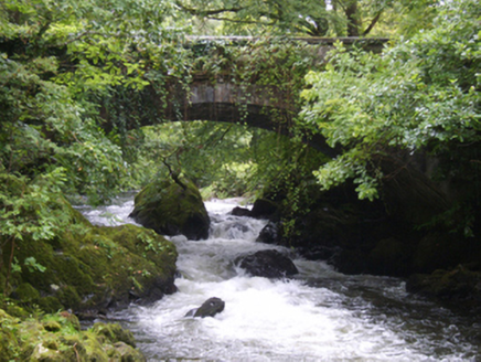 Victoria BridgeBridge · 119 yd
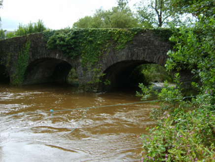 Ballynapierce BridgeBridge · 683 yd
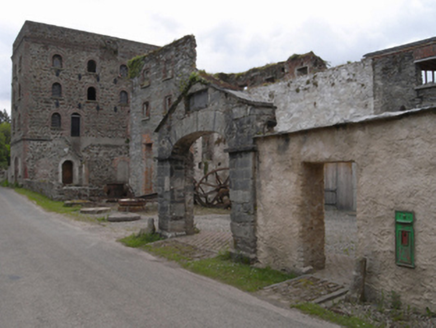 Kilcarbry Corn MillMill (water) · 717 yd
 post box721 yd
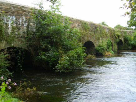 Kilcarbry BridgeBridge · 785 yd
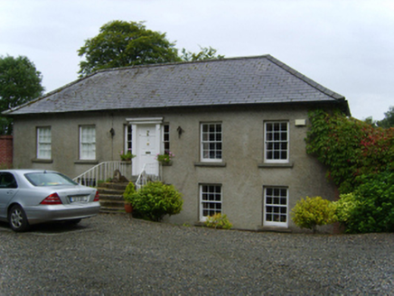 Sweetfarm HouseFarm house · 1099 yd
 Wilton HouseCastle, unclassified · 1.6 mi
_p184_Defeat_at_Vinegar_Hill_(cropped).jpg/250px-MAXWELL(1845)_p184_Defeat_at_Vinegar_Hill_(cropped).jpg "Photo: George Cruikshank, Wikimedia Commons · Public domain") Battle of Vinegar HillMajor battlefield · 2.1 mi
Battle of Vinegar HillMajor battlefield · 2.1 mi IndicatedCastle, tower house · 2.1 mi
 1798 MemorialStatue · 2.1 mi
 Battlefield in EnniscorthyBattlefield · 2.1 mi
 Clonmore Grave YardGraveyard · 3.3 mi
More castles and forts in County Wexford · All of County Wexford

What do you know about this place?Tap to add a comment or ask a question