
What is recorded here
Identified in centre-line testing (E4110) in advance of the M11 Gorey to Enniscorthy road scheme and set aside for resolution as Monroe 1 (Hardy et al. 2010, 15). It is situated in the slight valley of a NE-SW stream, which was c. 10m to the NW but is now channelled into a drain c. 180m to the NW. It was excavated (E4271) by C. Hardy who recorded a spread of broken and burnt stone (dims 9m N-S; 2.5m E-W; max. T 0.4m), which overlay a rectangular trough (dims 1.04m NE-SW; 1m NW-SE; D 0.4m). There were no other features apart from a NE-SW channel c. 10m to the NW, which is probably the original stream. A sample from the primary fill of the trough produced a C14 date of Cal. BC 2135-1953. The burnt mound (WX026-090002-) is c. 20m to the NE. (McNamara 2011; Hardy 2013)
Compiled by: Michael Moore
Date of upload: 29 November, 2013
The monument record does not grant public access. Check the route and ask the landowner before entering private land.
- What survives
- Recorded monument
Places near here
 Fulacht fia in RiverviewFulacht fia · 739 yd
 IndicatedHoly well · 1404 yd
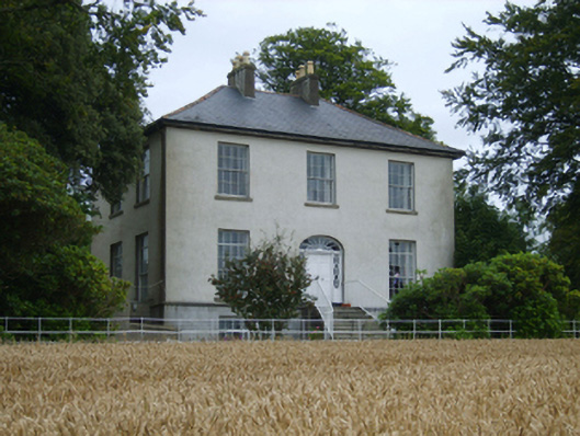 Rochfort Housefarm house · 1530 yd
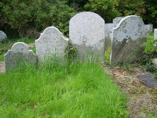 Edermine Church (Edermine)graveyard/cemetery · 1687 yd
 Scurlocksbush HillMountain / peak · 1.0 mi
 Black Castle (in ruins)Castle, tower house · 1.1 mi
 CastleCastle, ringwork · 2.1 mi
 National 1798 CentreMuseum · 2.8 mi
 Battle of Vinegar HillMajor battlefield · 3.0 mi
 Duffry GateMemorial · 3.2 mi
 U.N. Peace MemorialMonument · 3.2 mi
 Raheennahoon HillMountain / peak · 6.2 mi
Other information
Photo: Credit not shown in the picture search · Rights wording not checked; contact us if this picture should be removed