
Places near here
Photo credits
- National Inventory of Architectural Heritage
- Mike Searle, Geograph · CC BY-SA 2.0
- Maker not stated on source page, commons.wikimedia.org
- Aghabullogue GAA / EchoLive source; photographer not named, www.echolive.ie
- Larry Cummins / EchoLive, www.echolive.ie
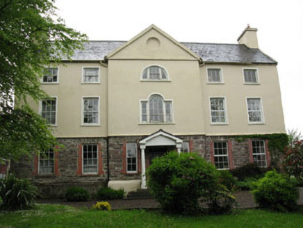 Carhoo HouseCountry house · 1552 yd
Explorer Tom Carhoo House in Carhoo Lower is strutting its stuff. From 1750, it’s got a pedimented breakfront and windows that…
 NettlevilleCountry house · 1730 yd
Explorer Tom Nettleville is a ruined 18th-century house that’s been through more than your last relationship. The roof collapsed…
 Upper ForrestCountry house · 1738 yd
Explorer Tom Upper Forrest is dressed up in classical style but has lost some of its original charm with new windows. I bet it would…
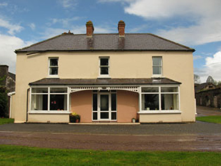 LeemountHouse · 1.3 mi
Explorer Tom Leemount has some dark history involving Lady Lindsey and an IRA ambush. She tipped off the army and lost her house in…
 Canovee GAA pitchGAA ground · 1.7 mi
 Larchill HouseCountry house · 1.7 mi
Explorer Tom Larchill House in Shandangan East is sitting there with a symmetrical face, pretending to be elegant since the 1840s.…
 Coachford, AghabullogueGAA ground · 1.7 mi
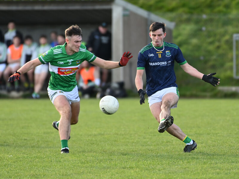 Kilmurry GAA pitchGAA ground · 4.7 mi
 Lee ViewHouse · 4.8 mi
Explorer Tom Lee View in Inchinashingane would teach history by making you do push-ups for every date you get wrong. It’s a…
 Clearagh HouseHouse · 5.8 mi
Explorer Tom Clearagh House in Clearagh has convinced the local rabbits that its slate roof is actually a giant blackboard where…
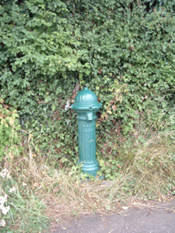 water pump21 mi
Explorer Tom Water pump in Mullaghroe North has been standing there since the 1880s, looking very Victorian about it. It’s a…
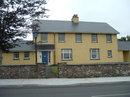 Knocknagree Garda StationGarda station/constabulary barracks · 23 mi
Explorer Tom 17. Knocknagree Garda Station looks like a fancy country house because it was built in the Domestic Revival style…
More archaeology and monuments in County Cork · All of County Cork

What do you know about this place?Tap to add a comment or ask a question