DDiscover AloneMapAbout

Upper Forrest

Country house
Upper Forrest
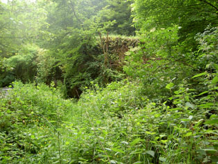
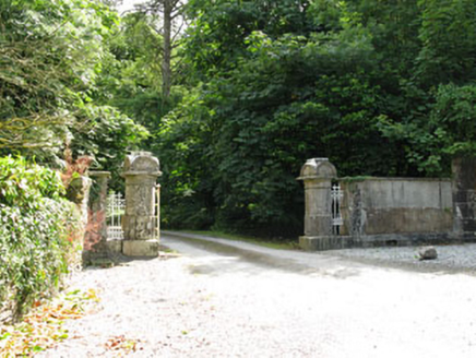
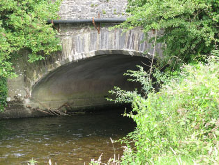
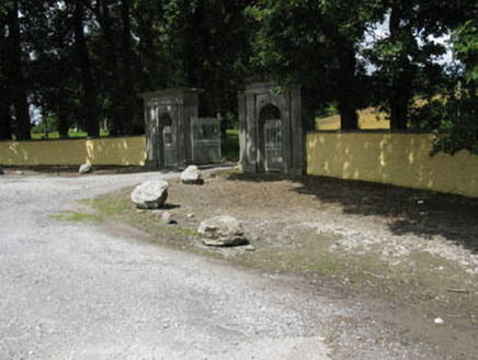
Photo: National Inventory of Architectural Heritage · Report the wrong picture

This does not grant access. Most recorded buildings are privately owned; view them only from public ground unless the owner allows entry.

Recorded change of use
Originally country house; recorded by the architectural inventory as farm house
What do you know about this place?Tap to add a comment or ask a question

What you write will be public.

What is recorded here

Detached five-bay two-storey house, dated 1828, with projecting lean-to stairwell block and attached single-storey former stable block to rear (west). Hipped slate roof with over-hanging eaves, rendered chimneystacks and uPVC rainwater goods. Roughcast rendered walls with render quoins, rendered eaves course to…

Read the whole record
Detached five-bay two-storey house, dated 1828, with projecting lean-to stairwell block and attached single-storey former stable block to rear (west). Hipped slate roof with over-hanging eaves, rendered chimneystacks and uPVC rainwater goods. Roughcast rendered walls with render quoins, rendered eaves course to stairwell block having flat based pear-drop motif. Tripartite timber sliding sash window to first floor central bay, having pointed arch two-over-four pane windows with tracery overlights to upper sashes and stained glass panes. Square-headed window openings with rendered sills and uPVC windows to remaining openings. Elliptical-headed door opening within rendered surround to front (east) elevation, comprising fluted engaged Corinthian, bevelled surround and archivolt with timber panelled door and spoked fanlight. Cast-iron boot scrape to limestone threshold. Ranges of former outbuildings arranged around paved yard to rear having pitched corrugated roofs and rendered walls. Square-profile rendered gate piers to front of site with wrought-iron gates. Set within own grounds.
Built in 1828 by the Gallach family, this is an elegantly proportioned house. It draws on classical architecture for its design, evident in its regular form and decorative doorcase. Although it has lost some of its character through the insertion of uPVC windows, the delightful central stained glass timber sliding sash window and fine decorative door surround and fanlight are significant eye-catching features. The ranges of related outbuildings contribute to its setting and context.

From the Buildings of Ireland (National Inventory of Architectural Heritage) record 20907208

Places near here

Picture notes
  • Computer-made picture. It does not show this monument.
  • Computer-made picture. It does not show this mountain top.
  • National Inventory of Architectural Heritage
  • Algirdas at Lithuanian Wikipedia, Wikimedia Commons · Public domain
  • Mike Searle, Wikimedia Commons · CC BY-SA 2.0
  • Jo and Steve Turner, Geograph · CC BY-SA 2.0
  • Sole Origami, Wikimedia Commons · CC BY-SA 4.0
  • Frabjousone, Wikimedia Commons · CC BY-SA 4.0
Fulacht fia in RathonoaneFulacht fia · 424 ydComputer-made picture

Explorer Tom Fulacht fia in Rathonoane is a large spread of burnt material sitting in tillage land. It’s right next to a field drain, which suggests it likes staying close to the plumbing. Look for dark patches that look like ancient charcoal briquettes.

Fairy fort / earthen ringfort in RathonoaneFairy fort / earthen ringfort · 564 ydComputer-made picture

Explorer Tom Rathonoane’s fairy fort is playing hide-and-seek behind its trees. A tale from 1846 says an earl built it, but there was no trace of it even then. Walk past slowly like you're in a film.

Fulacht FiadhFulacht fia · 639 ydComputer-made picture

Explorer Tom Fulchant Fiadh in Knockavullig, east side of the stream. It nearly got famous when a tourist mistook it for an alien landing pad. Perfect detour when the satnav has a meltdown and screams at you.

Fulachta FiadhFulacht fia · 644 ydComputer-made picture

Explorer Tom Fulachta Fiadh in Knockavullig is on the west side of the stream. The bishop refused to visit because he thought it was 'too rustic'. A proper spot for a flask of tea and a big think about life.

KnockshanaweeMountain / peak · 1.0 miComputer-made pictureHoran's BarHouse · 1.5 mi

Explorer Tom Horan's Bar in Inchirahilly was built in 1820 on the old road to Macroom. It used to be a public house, so it’s seen some things. Get a shot of that gable-fronted porch for me, yeah?

Rye Court BridgeBridge · 1.6 mi

Explorer Tom Rye Court Bridge in Ryecourt is overgrown now, sitting next to a ruined country house like an abandoned uncle at Christmas. It was built by the Rye family, who probably thought they were kings. Ask the weeds if they know where the gate lodge went or if it just died of embarrassment.

Pedunculate Oak1.7 mi

Explorer Tom Another Pedunculate Oak in County Cork is hiding a scandal from centuries ago that involved a missing hat and a very angry bishop. No proof, just vibes. Perfect place to be dramatically windswept and ignore the wind.

Castlemore CastleCastle · 1.8 mi

Explorer Tom Castlemore Castle in County Cork is just a name on a map and a picture file. No details, no drama. Be cheeky and take a photo for me if you can find anything more than the words 'Castle More' in your head.

Carrigadrohid Castle (in Ruins)Castle, tower house · 2.3 mi

Explorer Tom Carrigadrohid Castle is standing in water because someone decided to build a dam nearby. It's basically an island now, which is very dramatic. The MacCarthys built this back in the fifteenth century, so it's seen some stuff!

Carrigadrohid CastleHeritage attraction · 2.3 miMichael Collins MemorialMemorial · 4.8 mi

More historic places in County Cork · All of County Cork

Add to this placeAdd a picture Add a detailed tip Add a story

Explore the map1,093,392 places to discover

Next place · or swipeFulacht fia in Rathonoane