
What is recorded here
Situated on the crest of a ridge at the rear of Glenaraneen House. The ground falls away steeply to the Slade valley and there is a stream to the S of the site. A ring barrow, the central barrow (ext. diam. 12m) of three, is defined by an outer bank (Wth 2.5m; H 0.3m) and inner fosse (Wth 1.1m; D…
Read the whole record
From the National Monuments Service (Archaeological Survey of Ireland) record DU024-009003
Places near here
Photo credits
- Maker not stated on source page, www.pinterest.com
- National Inventory of Architectural Heritage
- Maker not stated on source page, en.wikipedia.org
- Maker not stated on source page, www.freepik.com
 Cross-inscribed stone in CrookslingCross-inscribed stone · 636 yd
Explorer Tom Cross-inscribed stone in Crooksling got bulldozed for a sanatorium. It used to stand near Toberna gcluas, but now it's…
 Standing stone in Raheen (newcastle By.)Standing stone · 864 yd
Explorer Tom Standing stone in Raheen would post on social media saying it’s having a spiritual moment with twenty-eight cupmarks…
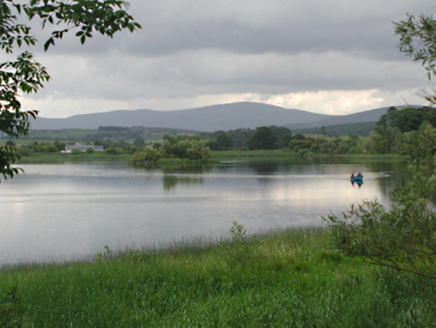 Glenaraneen Mill PondsDam/reservoir/basin · 1145 yd
Explorer Tom Glenaraneen Mill Ponds nearly got famous when a fisherman caught a trout with a hat on its head, but nobody believed…
 Standing stone in CrookslingStanding stone · 1401 yd
Explorer Tom Standing stone in Crooksling would bring a very heavy, very serious vibe to any party, probably standing in the corner…
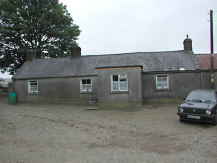 farmyard complex1631 yd
Explorer Tom Farmyard complex in Raheen holds a fake world record for the longest time a single carrot was left on the fence without…
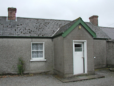 farm house1668 yd
Explorer Tom The Farm house in Raheen was invented by a local who just needed an excuse to build a shed. It’s rebuilt from old…
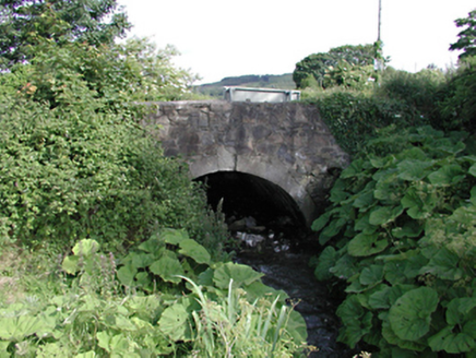 bridge1.4 mi
Explorer Tom This bridge in Saggart has a bitter feud with the rain because every time it tries to dry off, the clouds just decide…
 Standing stoneStanding stone, pair · 1.5 mi
Explorer Tom Standing stone in Boherboy has a fake royal visit story that nobody can prove or disprove, involving two stones named…
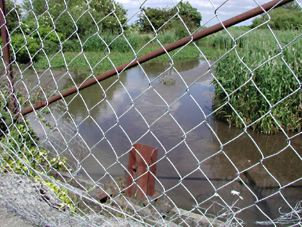 dam/reservoir/basin1.6 mi
Explorer Tom Dam in Saggart is a former mill pond that now acts as a picturesque body of water for local wildlife. It’s a strong…
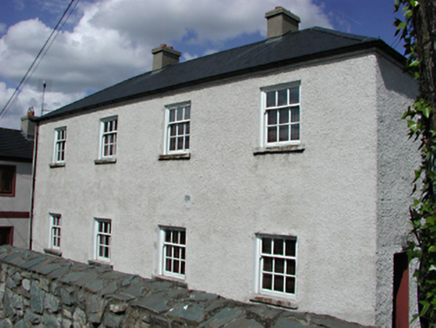 Saggart National SchoolSchool · 1.6 mi
Explorer Tom Saggart National School in Moneyatta Commons lost three Vikings who were looking for it; they got distracted by the…
 CastleCastle, unclassified · 1.8 mi
Explorer Tom Castle in Saggart is one of three, but we can’t find it, so it’s doing what it wants when nobody's looking. It might be…
 Saggart GraveyardCemetery · 1.9 mi
Explorer Tom Saggart Graveyard in County Dublin is keeping its cool while the rest of us sweat. It’s probably thinking up new jokes…
More archaeology and monuments in County Dublin · All of County Dublin

What do you know about this place?Tap to add a comment or ask a question