
Places near here
Photo credits
- National Inventory of Architectural Heritage
- Ross Watson, Wikimedia Commons
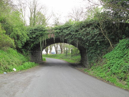 bridge513 yd
Explorer Tom Bridge in Magherarny is sitting right on top of an old railway line, acting like it owns the place now that the trains…
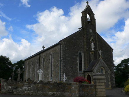 Saint Mary's Catholic ChurchChurch/chapel · 741 yd
Explorer Tom Saint Mary's Catholic Church is proud of its advanced bellcote, says it looks smart. The masonry is genuinely…
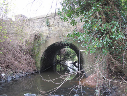 Magherarny BridgeBridge · 747 yd
Explorer Tom Magherarny Bridge in Magherarny would bring a bucket of paint to a party because it loves being noticed. The tooled…
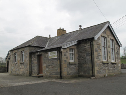 Magherarney National SchoolSchool · 780 yd
Explorer Tom Magherarney National School might have been built on a church site, which is a spooky little detail for a schoolhouse.…
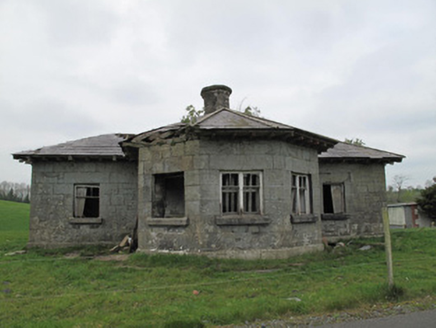 Templetate LockLock keeper's house · 799 yd
Explorer Tom Templetate Lock is sulking because its least favourite visitor was a bloke who dropped a chippy fry down the drain in…
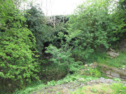 Templetate BridgeBridge · 836 yd
Explorer Tom Templetate Bridge is preparing for a job interview where it has to explain why it's still standing. It’s rehearsing its…
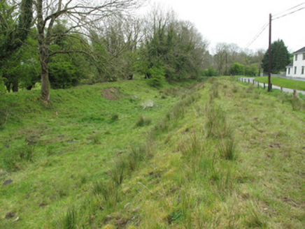 canal (section of)1069 yd
Explorer Tom Canal in Templetate is still holding onto that wild dance from decades ago, even though it's bone dry now. The mud…
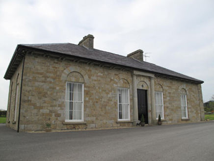 Loughoony HouseHouse · 1260 yd
Explorer Tom Loughoony House in Loughoony has strict rules about who gets to admire its Georgian detailing. The sandstone is…
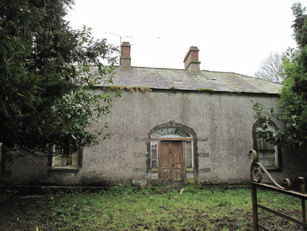 Ballintoppan HouseHouse · 1645 yd
Explorer Tom Ballintoppan House is standing on a hill with windows taller than the door, which feels like a very confident…
 Railway Park, Eire Og Na MullaiGAA ground · 1.0 mi
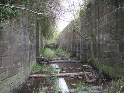 lock1.4 mi
Explorer Tom Lock in Killykeeragh would order extra thick chips and a pint of stout if it could go to the chippy. Its gates are…
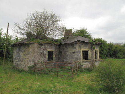 lock keeper's house1.5 mi
Explorer Tom Lock keeper's house in Killykeeragh claims it’s older than the canal itself, which is a wild stretch for a little…
More archaeology and monuments in County Monaghan · All of County Monaghan

What do you know about this place?Tap to add a comment or ask a question