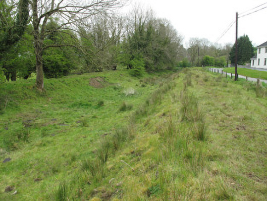
What is recorded here
Stretch of disused Ulster Canal, built c.1840. Shallow canal bed running between shaped earthen embankments, now overgrown.
Although now dry and no longer in use, this stretch of canal is a reminder of the scale of the engineering endeavour that was the Ulster Canal which ran between Lough Neagh and Upper Lough Earne, and the labour and civil engineering skill and experience required. The canal was intended to aid industry and the development of the economy in the area through providing a means of transport for passengers and bulk produce, and the canal bed and flanking embankments here are of social as well as technical interest.
This does not grant access. Most recorded buildings are privately owned; view them only from public ground unless the owner allows entry.
Places near here
 Church in Templetate (dartree By., Clones Par.)Church · 273 yd
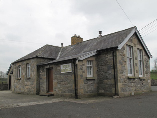 Magherarney National Schoolschool · 299 yd
 CairnCairn, unclassified · 933 yd
 Giants GraveCourt tomb · 1368 yd
 Lisarrilly HillMountain / peak · 1.9 mi
 Jaundice WellSpring · 1.9 mi
 Roosky Castle (Site of)Castle, ringwork · 1.9 mi
 Rough HillMountain / peak · 2.8 mi
 KillycoonaghWood · 3.6 mi
 Common LimeCommon Lime · 3.7 mi
 Saint John's WellSpring · 3.8 mi
 Dagda's CauldronHeritage attraction · 4.4 mi
Other information
Photo: National Inventory of Architectural Heritage · Website use allowed for educational or private purposes with source credit