
What is recorded here
Situated on a steep-sided hill that was known as Carn Brae. The townland is called after a cairn that is recorded in the local folklore (IFC Schools’ MSS, 951, 287: https://www.duchas.ie/en/cbes ) where it is described as covering a cist with bones and there were large stones at the head and foot of the cist. The bones were said to have been reburied at Magherarny Roman Catholic chapel c. 800m to the NNE, and the stones were used in mending the roads. There is no visible evidence of a cairn, but the field bank just to the N has stones and does curve a little.
The above description is derived from the published 'Archaeological Inventory of County Monaghan' (Dublin: Stationery Office, 1986). In certain instances the entries have been revised and updated in the light of recent research.
Revised by: Michael Moore
Date of revision: 29 January 2018
The monument record does not grant public access. Check the route and ask the landowner before entering private land.
- What survives
- Recorded monument
Places near here
 Church in Templetate (dartree By., Clones Par.)Church · 666 yd
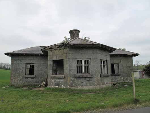 Templetate Locklock keeper's house · 682 yd
 CarnCairn, unclassified · 1167 yd
 Giants GraveCourt tomb · 1187 yd
 Roosky Castle (Site of)Castle, ringwork · 1.4 mi
 Jaundice WellSpring · 1.5 mi
 Lisarrilly HillMountain / peak · 1.5 mi
 KillycoonaghWood · 3.1 mi
 Common LimeCommon Lime · 3.2 mi
 Saint John's WellSpring · 3.2 mi
 Rough HillMountain / peak · 3.4 mi
 Dagda's CauldronHeritage attraction · 4.8 mi
Other information
Photo: Credit not shown in the picture search · Rights wording not checked; contact us if this picture should be removed