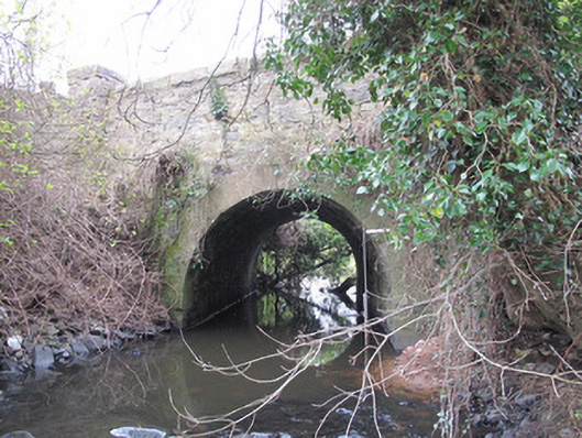
What is recorded here
Single-arch bridge, built c.1790, carrying road over River Finn. Round arch with peck-dressed sandstone voussoirs and gunnelled sandstone soffits. Coursed rubble sandstone to spandrel and parapet walls, having rock-faced rusticated sandstone copings. Square-plan rubble stone pier terminating north end of west parapet wall.
The simple form of this bridge is enhanced by subtle tooled stone detailing to the voussoirs and coping to parapets, the latter rendering the bridge easily identifiable from the road. Spanning a relatively small river, this bridge is a reminder of the craftsmanship employed in such endeavours in the early nineteenth century.
This does not grant access. Most recorded buildings are privately owned; view them only from public ground unless the owner allows entry.
Places near here
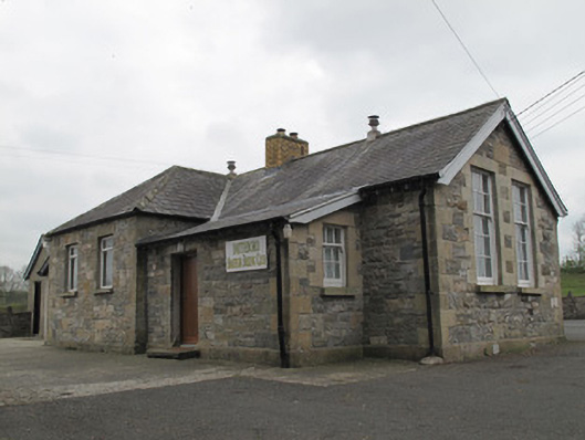 Magherarney National Schoolschool · 46 yd
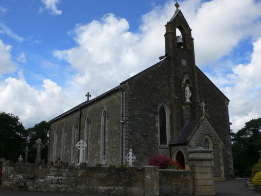 Saint Mary's Catholic Churchchurch/chapel · 62 yd
 CairnCairn, unclassified · 929 yd
 White FortFairy fort / earthen ringfort · 1460 yd
 Jaundice WellSpring · 1.7 mi
 Roosky Castle (Site of)Castle, ringwork · 1.9 mi
 Lisarrilly HillMountain / peak · 2.0 mi
 Rough HillMountain / peak · 2.9 mi
 KillycoonaghWood · 3.5 mi
 Common LimeCommon Lime · 3.6 mi
 Saint John's WellSpring · 3.7 mi
 Dagda's CauldronHeritage attraction · 4.5 mi
Other information
Photo: National Inventory of Architectural Heritage · Website use allowed for educational or private purposes with source credit