
What is recorded here
Located on a slight shelf just off the crest of an ENE-WSW ridge on the SE side in an area known as ‘White Rath’. A circular embanked enclosure (ext. diam. c. 30m) is depicted only on the 1834 edition of the OS 6-inch map where it is described in gothic lettering as a ‘fort’. No archaeological feature is visible now in pasture, but slight traces of a fosse were detectable in 1942 (SMR file).
The above description is derived from the published 'Archaeological Inventory of County Monaghan' (Dublin: Stationery Office, 1986). In certain instances the entries have been revised and updated in the light of recent research.
Date of revision: 29 January 2018
Revised by: Michael Moore
A local fairy fort (ringfort/rath); wider significance not recorded.
The monument record does not grant public access. Check the route and ask the landowner before entering private land.
- What survives
- Recorded monument
Places near here
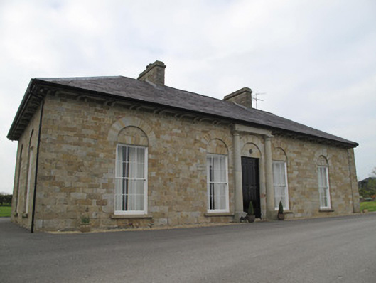 Loughoony Househouse · 464 yd
 IndicatedCrannog · 611 yd
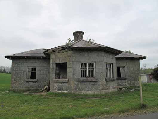 Templetate Locklock keeper's house · 1395 yd
 CairnCairn, unclassified · 1687 yd
 Jaundice WellSpring · 1.2 mi
 Roosky Castle (Site of)Castle, ringwork · 2.2 mi
 Lisarrilly HillMountain / peak · 2.4 mi
 KillycoonaghWood · 3.2 mi
 Rough HillMountain / peak · 3.3 mi
 Saint John's WellSpring · 3.4 mi
 Common LimeCommon Lime · 3.4 mi
 Abbey RuinsHeritage attraction · 4.8 mi
Other information
Photo: Credit not shown in the picture search · Rights wording not checked; contact us if this picture should be removed