Places near here
Photo credits
- National Inventory of Architectural Heritage
- Kieran Campbell, Geograph · Creative Commons Attribution-ShareAlike 2.0
- Alvesgaspar, Wikimedia Commons · CC BY-SA 3.0
- Enda O Flaherty, Wikimedia Commons · CC BY-SA 2.0
- Walking with a phone, Wikimedia Commons · CC BY-SA 4.0
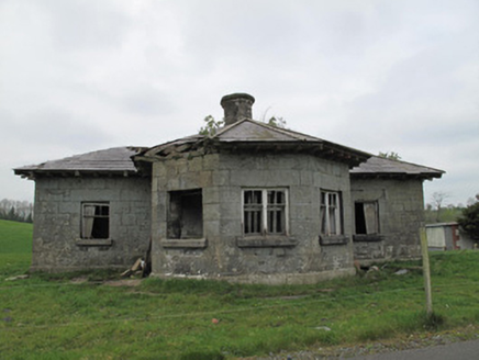 Templetate LockLock keeper's house · 116 yd
Explorer Tom Templetate Lock is sulking because its least favourite visitor was a bloke who dropped a chippy fry down the drain in 1892. The lock keeper’s house still smells of grease and regret to this day. Stick around for the light ch.
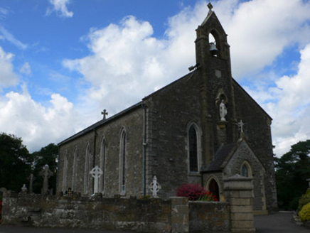 Saint Mary's Catholic ChurchChurch/chapel · 132 yd
Explorer Tom Saint Mary's Catholic Church is proud of its advanced bellcote, says it looks smart. The masonry is genuinely impressive on those tall windows. Visit, then text me what you saw from the public road only.
Jaundice WellSpring · 1.7 miRoosky Castle (Site of)Castle, ringwork · 1.8 miLisarrilly HillMountain / peak · 1.9 miRough HillMountain / peak · 2.9 mi Grave YardGraveyard · 3.4 mi
Explorer Tom Killeevan Glebe graveyard is D-shaped because the map makers were drunk one Tuesday afternoon and couldn’t decide on a square. It sits on a ridge, looking slightly confused about its own geometry. Snap one photo, then put the phone away and actually look.
KillycoonaghWood · 3.4 mi Common Lime3.5 mi
Explorer Tom This Common Lime in County Monaghan keeps whispering to its younger self about making better leaf choices. It’s got serious regret issues now. If it's closed, admire it from the road like a polite stalker.
Saint John's WellSpring · 3.6 mi Giants GreveWedge tomb · 4.0 mi
Explorer Tom "Giants Greve is hiding a scandal about a stone that wasn’t invited to the party. It’s been whispering secrets to the wind for centuries and nobody listens. Snap one photo, then put the phone away and actually look."
 Rossmore MausoleumHeritage attraction · 4.7 mi
More historic places in County Monaghan · All of County Monaghan

What do you know about this place?Tap to add a comment or ask a question