What is recorded here
Sir Walter Raleigh acquired extensive estates in east Cork and west Waterford, and he was the first person to develop its potential iron industry. Sir Richard Boyle, later the first Earl of Cork, acquired the Raleigh estates in Ireland in 1604, and continued to develop the iron industry. Situated on the E side of a S-N stream, close to its junction with the E-W Araglin River. An ironworks and blast furnace were established here in 1642 by a son of the Earl of Cork. New works were built c. 1741 for the production of bar iron (Smith 1746, 62, 305) but these seem to have gone into disuse by the end of the 18th century (Power 1978a, 30-31). A blast furnace with a charging area and two outlets (Wth 4.1m; H 1.55m) survives with the foundations of a forge (dims. 10.2m N-S; 9.3m E-W) nearby. The possible tailing tips of spoil from the ironworkings are to the E. The visible remains probably date to the 18th century. (Schubert 1957, 11-12)
Power, T. (1977) Richard Boyle's ironworks in Co. Waterford. Part 1.Decies, No. 6, 26-31. Power, T. (1978a) Richard Boyle's ironworks in Co. Waterford. Part 2. Decies, No. 7, 30-36. Schubert, H. R. (1957) History of the British Iron and Steel Industry from c. 450 BC to AD 1775. Oxford. University Press. Smith, C. (1746) The history of the town and county of Waterford. W. Wilson. Dublin. Revised by: Michael Moore
Date of upload 17 February 2011
Sir Walter Raleigh acquired extensive estates in east Cork and west Waterford, and he was the first person to develop its potential iron industry. Sir Richard Boyle, later the first Earl of Cork, acquired the Raleigh estates in Ireland in 1604, and continued to develop the iron industry. Situated on the E side of a S-N stream, close to its junction with the E-W Araglin River. An ironworks and blast furnace were…
From the National Monuments Service (Archaeological Survey of Ireland) record WA019A001
The monument record does not grant public access. Check the route and ask the landowner before entering private land.
- What survives
- Recorded monument
Places near here
Photo credits
- National Inventory of Architectural Heritage
- David Purchase, Geograph · Creative Commons Attribution-ShareAlike 2.0
- john salter, Geograph · CC BY-SA 2.0
- Colin Park, Geograph · CC BY-SA 2.0
- Neil Theasby, Geograph · CC BY-SA 2.0
- Hywel Williams, Geograph · Creative Commons Attribution-ShareAlike 2.0
- Hywel Williams, Wikimedia Commons · CC BY-SA 2.0
- Mike Searle, Geograph · CC BY-SA 2.0
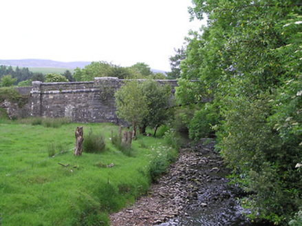 Kingston BridgeBridge · 1.1 mi
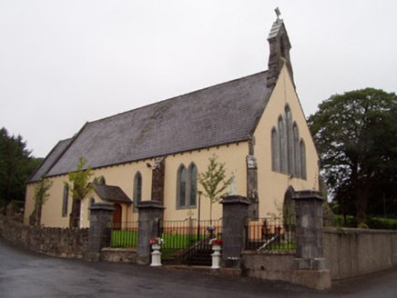 Church of the Immaculate ConceptionChurch/chapel · 1.4 mi
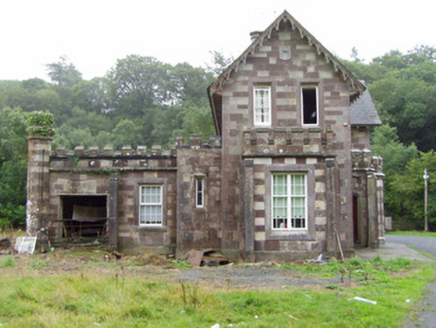 Araglin CottageHouse · 1.5 mi
 Elizabeth's BridgeBridge · 1.7 mi
 Carran HillMountain / peak · 1.7 mi
 Baker's BridgeBridge · 2.7 mi
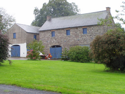 Castle CookeOutbuilding · 3.5 mi
 KnockshanahullionMountain / peak · 5.2 mi
 John MandevilleMemorial · 8.1 mi
 St Bernards WellHoly well · 8.8 mi
 Corrin CrossMonument · 9.7 mi
 Dunmahon Castle (in Ruins)Bawn · 9.8 mi
More archaeology and monuments in County Waterford · All of County Waterford
What do you know about this place?