What is recorded here
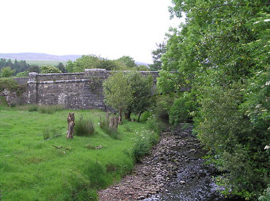
Single-arch limestone road bridge over Araglin River, dated 1859. Segmental arch with cut-stone voussoirs, dressed stone parapets and flanked by slightly projecting dressed stone piers. Snecked stone walls flanking bridge piers and terminated by cut-stone piers, lower part flared, all piers projecting through parapet. Dressed stone string course carried through arch, bridge piers and parapets, as far as terminating piers, all paraperts having cut-stone coping. Carved limestone date plaque to west parapet. Rubble walling beyond outer piers.
This bridge straddles the border between counties Tipperary and Waterford and is of particularly painstaking design and construction. It shows the skill of the engineers involved in spanning a wide defile with a single arch, and the skill of the stonemasons in the careful cutting and fitting of a variety of stone treatments, including dressed, snecked and cut-stone. The well-constructed parapet walls, punctuated by piers, provide interest to the roadscape, and the bridge is visible from the nearby small road to the south.
From the Buildings of Ireland (National Inventory of Architectural Heritage) record 22208902
This does not grant access. Most recorded buildings are privately owned; view them only from public ground unless the owner allows entry.
Places near here
 Carran HillMountain / peak · 1.7 miBurial ground in Ballynamuddagh (condons and Clongibbon By.)Burial ground · 2.0 mi
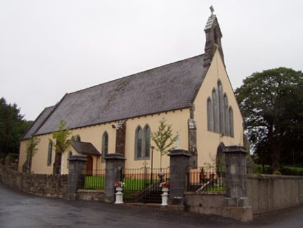 Church of the Immaculate ConceptionChurch/chapel · 2.5 mi
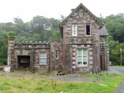 Araglin CottageHouse · 2.6 miCross in SeemochudaCross · 3.4 miSaint Micheal's Holy WellSpring · 3.8 miMocollop Picnic SitePicnic place · 3.8 miMocollop Castle (in ruins)Castle, Anglo-Norman masonry castle · 4.1 mi
 KnockshanahullionMountain / peak · 4.3 miBlackwater (Avondhu) WayWalking route · 4.4 mi
 Ballysaggartmore TowersHeritage attraction · 5.9 mi
 Ballysaggartmore TowersVisitor information · 6.3 mi
Pictures: john salter, Geograph · CC BY-SA 2.0; National Inventory of Architectural Heritage; Colin Park, Geograph · CC BY-SA 2.0; Photo-raven, Wikimedia Commons · CC BY-SA 4.0; Hywel Williams, Geograph · CC BY-SA 2.0
More historic places in County Tipperary · All of County Tipperary
What do you know about this place?