What is recorded here
According to Power (1899, WAJ, 149) there was local information of a possible cross at the location which cannot be confirmed. Power, Rev. P. (1899) Another Ogham discovery. WAJ 5, 146-50.
From the National Monuments Service (Archaeological Survey of Ireland) record WA011-003005
The monument record does not grant public access. Check the route and ask the landowner before entering private land.
- What survives
- Recorded monument
Places near here
Photo credits
- National Inventory of Architectural Heritage
- Colin Park, Geograph · CC BY-SA 2.0
- Photo-raven, Wikimedia Commons · CC BY-SA 4.0
- Hywel Williams, Geograph · CC BY-SA 2.0
- Ftlombardo, Wikimedia Commons · CC BY 3.0
- Willow, Wikimedia Commons · CC BY 2.5
- Dave Spencer, Geograph · CC BY-SA 2.0
- N Chadwick, Geograph · Creative Commons Attribution-ShareAlike 2.0
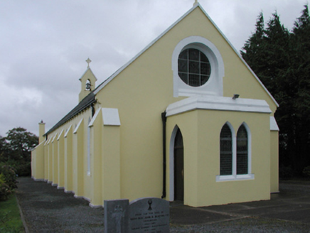 Saint Mary's Catholic ChurchChurch/chapel · 1.5 mi
 KnocknaloughaMountain / peak · 2.9 mi
 KnockshanahullionMountain / peak · 3.0 mi
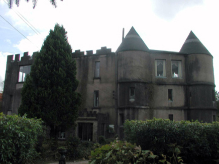 Castle DodardHouse · 3.3 mi
 Ballysaggartmore TowersHeritage attraction · 3.7 mi
 Ballysaggartmore TowersVisitor information · 4.1 mi
 The VeeViewpoint · 4.6 mi
 Red Maple5.0 mi
 European ash5.0 mi
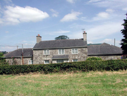 Lismore CastleFarm house · 5.0 mi
 Lismore CastleCastle, Anglo-Norman masonry castle · 5.2 mi
 St. Carthaghs WellHoly well · 5.3 mi
More archaeology and monuments in County Waterford · All of County Waterford
What do you know about this place?