
Places near here
Photo credits
- National Inventory of Architectural Heritage
- Kenneth Allen, Geograph · Creative Commons Attribution-ShareAlike 2.0
- Wanfried-Dublin, Wikimedia Commons · CC BY 4.0
- Fintan McTiernan; published by Monaghan GAA, www.flickr.com
- Fintan McTiernan / Monaghan GAA official Flickr, www.flickr.com
 Braddocks Presbyterian ChurchMonument · 1196 yd
Explorer Tom Braddocks Presbyterian Church is still judging the younger monuments across the road for their lack of fancy dressing.…
 Saint Patrick's Church (Tullycorbet)Church/chapel · 1693 yd
Explorer Tom Saint Patrick's Church (Tullycorbet) was saved by a hero nobody remembers who fixed the spire. It’s ruined but the cut…
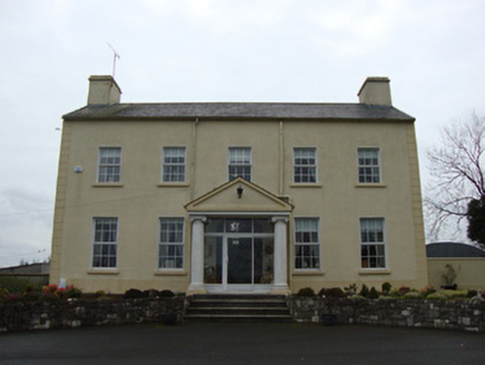 Glebe HouseRectory/glebe/vicarage/curate's house · 1700 yd
Explorer Tom Glebe House in Terrygeely would survive a zombie attack by locking its single front door. It’s been sitting there since…
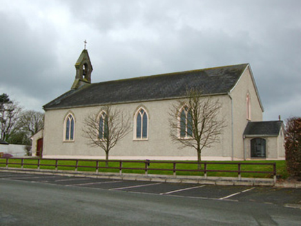 Saint Michael's Catholic ChurchChurch/chapel · 1.4 mi
Explorer Tom Saint Michael's Catholic Church in Lisleitrim has been serving the community for two hundred years, which is impressive…
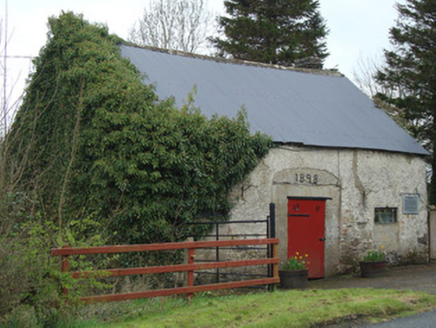 Ardaghy ForgeForge/smithy · 1.4 mi
Explorer Tom Ardaghy Forge is blaming the map makers for getting its name wrong, which is convenient because it can’t find its own…
 Clontibret First Presbyterian ChurchOfficially recorded historic building · 1.8 mi
Explorer Tom Clontibret First Presbyterian Church refuses to fall down because it’s too stubborn to admit it’s empty. Those fancy…
 post box1.8 mi
Explorer Tom Post box in Cornahoe, Monaghan, is wedged into a school wall like it owns the place. Rumor says a bishop once refused…
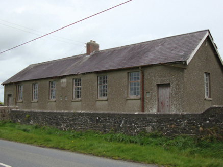 Corvoy National SchoolSchool · 1.8 mi
Explorer Tom Corvoy National School has a local who claims he invented the concept of homework inside these four walls in 1902. He…
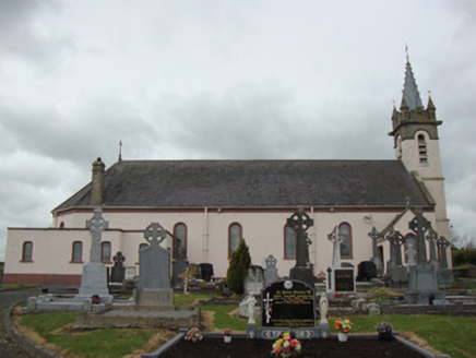 Catholic Church of Our Lady of the Most Holy RosaryChurch/chapel · 1.9 mi
Explorer Tom Catholic Church of Our Lady of the Most Holy Rosary is proud of its zinc-clad tower, added in 1897. It’s been around…
 Portal tomb in LennanPortal tomb · 3.2 mi
Explorer Tom Portal tomb in Lennan is perched on a drumlin ridge, looking slightly tipsy from the wind. If it could order at a…
 Páirc Na Seamróige, Cremartin ShamrocksGAA ground · 4.1 mi
 Páirc Uí Néill, Doohamlet O'NeillsGAA ground · 5.4 mi
More archaeology and monuments in County Monaghan · All of County Monaghan

What do you know about this place?Tap to add a comment or ask a question