
Places near here
Photo credits
- National Inventory of Architectural Heritage
- Kmcnamee, Wikimedia Commons · CC BY-SA 4.0
- Paul O'Farrell, Geograph · CC BY-SA 2.0
- Golfing in Ireland; photographer not stated, Source publisher
Explorer Tom St. John the Baptists Well in Kilmacomb is stuck between being dedicated to John or Matthew, which is a bit…
Enclosure in KilmacombEnclosure · 466 ydExplorer Tom Kilmacomb’s circular enclosure is only visible in cropmarks, which means it’s basically a ghost that only shows up when…
The Black Woman's RoadWalking route · 1343 ydExplorer Tom The Black Woman's Road confused the Vikings so badly they ended up walking in circles for three days before admitting…
Fairy Bush LoopWalking route · 1513 ydExplorer Tom Fairy Bush Loop would have made Saint Patrick blush, telling him he missed a few spots with his snake-chasing and left…
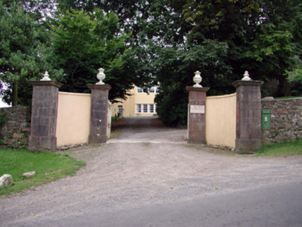
 Island ViewGates/railings/walls · 1.2 mi
Explorer Tom Island View in Fornaght is a gateway that probably drank forty cups of tea before it even finished building itself. The…
 post box1.3 mi
Explorer Tom That post box in Ballyglan has a pigeon living in it who refuses to leave, claiming it's his ancestral home now. The…
 Gaultier GAA ClubGAA ground · 1.6 miKnockavelish HeadHeadland · 1.8 mi
Explorer Tom Knockavelish Head has a ghost that is far too lazy to actually haunt the place properly. He just sits on the rocks and…
Fornaght StrandBeach / strand · 1.9 miExplorer Tom Fornaght Strand has a long-standing grudge with the weather because the rain always picks its worst days to show off.…
 Woodstown StrandBeach / strand · 1.9 mi
Explorer Tom Woodstown Strand is currently in a heated argument with the nearest tree about who looks better from the east side. The…
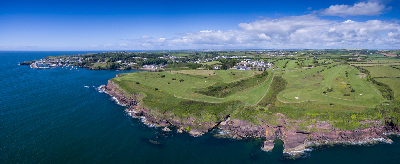 Dunmore East Golf ClubGolf course · 2.0 miNewtown HeadHeadland · 2.6 mi
Explorer Tom Newtown Head in County Waterford is a headland that looks like it was designed by a very angry mother-in-law who wanted…
More archaeology and monuments in County Waterford · All of County Waterford

What do you know about this place?Tap to add a comment or ask a question