
What is recorded here
In pasture, atop hill. Roughly circular area (164m NW-SE) enclosed by earthen bank (int. H 1m; ext. H 1.6m), stone-faced in parts. Bank has numerous breaks is incorporated into field boundary system, with townland boundary following line of bank SE->SW. Possibly location of 'cillin at Killeagh (pronounced distinctly - Cill Aodha)' referred to by Power (1932, 64). According to local information, quern stone discovered here; probably same quern stone (D-shaped; 18in x 18in) found in Killeagh townland and reported to Cork Historical and Archaeological Society in May 1944 (UCC). Trivallate ringfort (12615) abuts site to SE; second ringfort (12614) c. 200m to W.
The above description is derived from the published 'Archaeological Inventory of County Cork. Volume 4: North Cork' (Dublin: Stationery Office, 2000). In certain instances the entries have been revised and updated in the light of recent research.
Date of upload/revision: 14 January 2009
The monument record does not grant public access. Check the route and ask the landowner before entering private land.
- What survives
- Recorded monument
Places near here
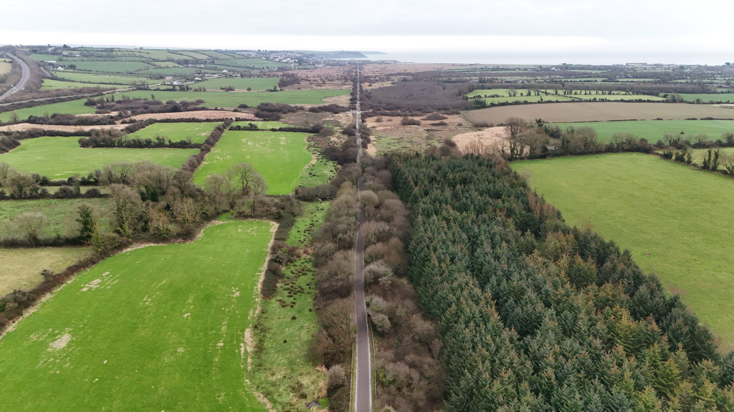 Fulacht fia in Killeagh (fermoy By.)Fulacht fia · 993 yd
 Man-made underground passageMan-made underground passage · 1017 yd
 Killleenemer Church (in Ruins)Church · 1491 yd
 Dunmahon Castle (in Ruins)Bawn · 1669 yd
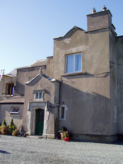 Ballyclogh Housecountry house · 1.1 mi
 Castle (in Ruins)Castle, tower house · 1.2 mi
 St Dominick's WellSpring · 1.8 mi
 Graveyard in BoherashGraveyard · 1.9 mi
 Flat cemetery in Ballyenahan NorthFlat cemetery · 4.3 mi
 Blackwater (Avondhu) WayWalking route · 5.7 mi
 Johnson's WoodForest · 5.9 mi
 Priest's WoodForest · 6.1 mi
Other information
Photo: Credit not shown in the picture search · Rights wording not checked; contact us if this picture should be removed