
Places near here
Photo credits
- National Inventory of Architectural Heritage
- Eric Jones, Geograph · Creative Commons Attribution-ShareAlike 2.0
- Eric Jones, Geograph · CC BY-SA 2.0
- Maker not stated on source page, co.pinterest.com
- Maker not stated on source page, www.atlasobscura.com
- Garry Dickinson, Geograph · CC BY-SA 2.0
- Maker not stated on source page, www.tripadvisor.com.au
- TommyMurf, Wikimedia Commons · CC BY-SA 4.0
- Maker not stated on source page, www.dreamstime.com
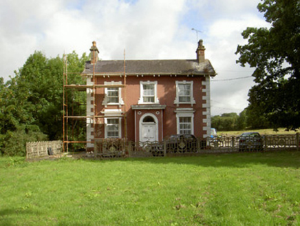 Millbrook HouseMiller's house · 558 yd
Explorer Tom Millbrook House is the miller’s home by the river, so it probably listens to the water all night. When nobody’s…
 Saint Brigid's Catholic ChurchChurch/chapel · 636 yd
Explorer Tom Saint Brigid's Catholic Church in Kilcurry, County Louth is guarding a hidden treasure that everyone swears is a…
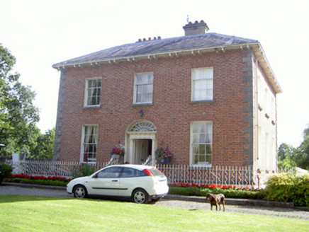 Water LodgeMiller's house · 644 yd
Explorer Tom Water Lodge was built by a miller who really wanted to show off his wealth in brick form. The builder was probably…
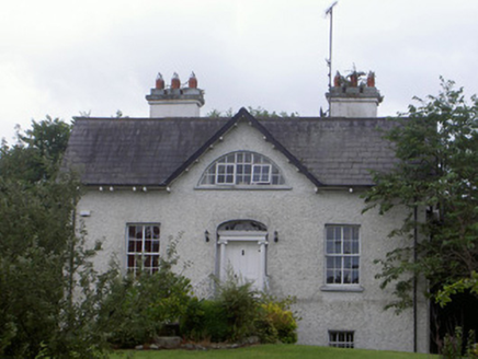 Balregan HouseMiller's house · 708 yd
Explorer Tom Balregan House in Balregan, County Louth has that huge Diocletian window staring back at me like it's trying to solve a…
 Balregan CastleCastle, tower house · 851 yd
Explorer Tom Balregan Castle in County Louth had a massive feud with the next village over who owned the best view. It lost, but…
 Megalithic StructurePortal tomb · 983 yd
Explorer Tom Megalithic Structure in Lurgankeel witnessed a tragic breakup where he threw a rock, quite literally. The tomb is still…
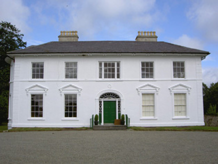 Falmore HallCountry house · 1160 yd
Explorer Tom Falmore Hall: This hall has such fine classical proportions it probably practices in a mirror every morning to make…
 CairnCairn, unclassified · 1256 yd
Explorer Tom Cairn in Balregan is described as 'carned' which sounds like a medical condition but is actually just a pile of rocks…
 CastleCastle, tower house · 1.4 mi
Explorer Tom Castle in Castletown ended up here because Richard Bellew got confused about which side of town was cool. It’s a tower…
 Graveyard in Castletown (dundalk Upper By.)Graveyard · 1.6 mi
Explorer Tom Graveyard in Castletown is triangular, which is weird for dead people to lie flat in. The lazy ghost probably just naps…
 Battle of FaughartMajor battlefield · 1.8 mi
Explorer Tom The Battle of Faughart happened here in 1318, and its least favourite visitor is definitely anyone bringing a picnic…
 Flat cemetery in Faughart LowerFlat cemetery · 2.0 mi
Explorer Tom Faughart Lower was dug up for a bypass, finding prehistoric pots next to cremated bones. A tragic love story ended…
More archaeology and monuments in County Louth · All of County Louth

What do you know about this place?Tap to add a comment or ask a question