
What is recorded here
Situated on top of a natural hillock. Indicated on the 1835 'OS 6-inch' map and believed to have been built around 1831 (H.G. Tempest, 1952b). Remains include the grass-covered foundation walls of the nave, the W wall and doorway which leads to a square tower. (SMR file)
Compiled by: Claire Breen
Date of upload: 17 November 2011
The monument record does not grant public access. Check the route and ask the landowner before entering private land.
- What survives
- Recorded monument
Places near here
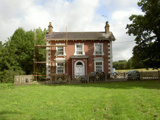 Millbrook Housemiller's house · 558 yd
 Saint Brigid's Catholic Churchchurch/chapel · 628 yd
 Fort HillEnclosure · 652 yd
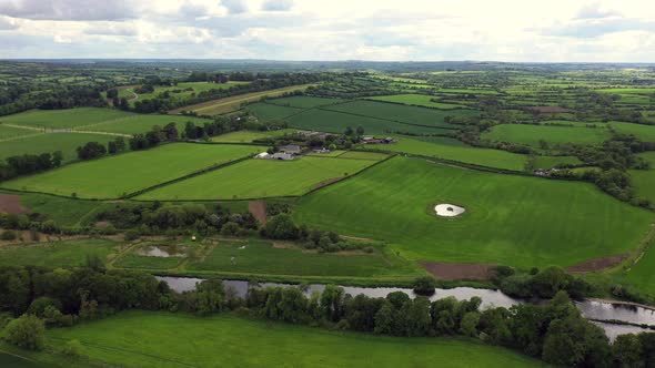 Field system in BalrigganField system · 720 yd
 Balregan CastleCastle, tower house · 858 yd
 TumulusCastle, motte and bailey · 1331 yd
 MonascreebeMountain / peak · 1.8 mi
 Battle of FaughartMajor battlefield · 1.8 mi
 Sky HillMountain / peak · 2.4 mi
 Dundalk CentralHeritage attraction · 2.5 mi
 Maid of ErinMemorial · 2.5 mi
 Bombing 1975Memorial · 2.6 mi
Other information
Photo: Credit not shown in the picture search · Rights wording not checked; contact us if this picture should be removed