
What is recorded here
Marked on the 1835 'OS 6-inch' map as 'fort'. Levelled during landscaping activity associated with the construction of Fort Hill House (CLAJ 2, 1908, 36). Partially excavated (c. 50%) as part of the Dundalk Western Bypass Project (Excavation Licence 02E1326). The first phase of construction dated to the early 13th-14th century when the hilltop was fortified and took the form of an inner fortified area of an ellipse (40m N-S; 23m E-W) with a V-shaped ditch (max. D 1.37m) protecting the W half. The second stage consisted of the construction of outer defence or bailey which encompasses the inner enclosure and hilltop. A series of pits and postholes were uncovered in the interior. Finds included a polished stone axe from the topsoil, medieval and post-medieval pottery, crucible sherds and a blue bead. A pit (LH004-144----) dating to the Neolithic was discovered to the SW and possible Iron Age round house (LH004-145----) was discovered on the summit of the hill. A single inhumation (LH004-146----) of a pre-teen female, orientated N-S and dating to the 16th/17th century was also recorded. (Bayley 2004, 373; Bayley 2010).
References:
Bayley, D. 2004 Fort Hill, Balriggan, Dundalk Medieval hillfort. In I. Bennett (ed.), Excavations 2002: summary accounts of archaeological excavations in Ireland, 373 (No. 1329). Bray. Wordwell
Bayley, D. 2010 M1 Dundalk Western Bypass, Site 120: Fort Hill, Chainage 23.480-23.560 NGR: 303423/310581, Final Report on behalf of Louth County Council and the National Roads Authority, Licensee: David Bayley, Licence Number: 02E1326. Irish Archaeological Consultancy. Unpublished report, National Monuments Service, Department of the Environment Heritage and Local Government, Dublin.
CLAJ County Louth Archaeological and Historical Journal.
Compiled by: Claire Breen
Date of upload: 17 November 2011
The monument record does not grant public access. Check the route and ask the landowner before entering private land.
- What survives
- Recorded monument
Places near here
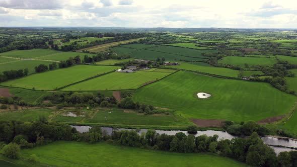 Field system in BalrigganField system · 194 yd
 Church in KilcurryChurch · 652 yd
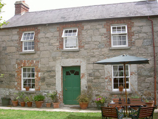 Mill Cottagegate lodge · 671 yd
 Enclosure in BalrigganEnclosure · 765 yd
 Balregan CastleCastle, tower house · 1024 yd
 TumulusCastle, motte and bailey · 1.1 mi
 Battle of FaughartMajor battlefield · 1.6 mi
 MonascreebeMountain / peak · 1.9 mi
 Maid of ErinMemorial · 2.2 mi
 Bombing 1975Memorial · 2.2 mi
 Dundalk CentralHeritage attraction · 2.2 mi
 Photo GalleryHeritage attraction · 2.3 mi
Other information
Photo: Credit not shown in the picture search · Rights wording not checked; contact us if this picture should be removed