What is recorded here
Mnemo records a triangular graveyard beside the main Castletown Road, with church remains in its north part. The shape suggests a community that measured death in angles rather than lines, fitting lives into a pointy bowl beside the road.
Triangular shaped graveyard (map dims. c. 170m x 160m x 110m) adjacent to main Castletown Road, with remains of church (LH007-118005-) in N part.
Compiled by: Claire Breen
Date of upload: 24 November 2011
The monument record does not grant public access. Check the route and ask the landowner before entering private land.
- What survives
- Recorded monument
Places near here
 Church (in Ruins)Church · 41 yd
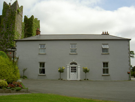 Dún Lughaidhhouse · 187 yd
 CastleCastle, unclassified · 200 yd
 Castletown MotteArchaeological place · 361 yd
 Dun Dealgan (Man-made underground passage)Man-made underground passage · 365 yd
 St. Johns Well (Covered)Holy well · 1239 yd
 Dundalk CentralHeritage attraction · 1.0 mi
 Photo GalleryHeritage attraction · 1.1 mi
 Maid of ErinMemorial · 1.2 mi
 Bombing 1975Memorial · 1.2 mi
 Battle of FaughartMajor battlefield · 2.5 mi
 Soldiers' PointHeadland · 3.2 mi