
What is recorded here
The following description is derived from both the published 'Archaeological Inventory of County Louth' (Dublin: Stationery Office, 1986) and the 'Archaeological Survey of County Louth' (Dublin: Stationery Office, 1991). In certain instances the entries have been revised and updated in the light of recent research.
Date of upload/revision: 17 July 2007
Situated on prominent ground close to motte (LH007-118007-) and tower house (LH007-118001-). Undivided nave and chancel (max. dims. c. 23m E-W, c. 6.5m N-S), but holes in N and S walls might be evidence for a rood screen. Built of uncoursed limestone boulders and greywacke. S wall, much renovated and repointed with concrete, contains the remains of three windows and a gap at its W end where the original doorway may have been. Window at E end of S wall has rounded two-centred arch of punch-dressed limestone on exterior. The jambs of the embrasure are constructed of sandstone blocks, some of which have been moulded. This is the only complete window in the S or N walls. There are four in the N wall, crudely repaired with concrete. Most have the remains of crude moulded sandstone jambs, are splayed and have lintels with flattened arches of greywacke over. E window has sandstone blocks and boulders for inner jambs with a flattened arch of greywacke and central keystone. The remaining lower jambs on exterior are of punch-dressed limestone and contain glazing bar holes and grooves. Small recess or cubby-hole directly under E jamb of centre window in S wall and a further one under the easternmost window; both are constructed with greywacke blocks and slabs. The standing remains are undoubtedly fifteenth- or sixteenth-century in date because of punch-dressed limestone window frames. The chancel contains two seventeenth-century tombs (LH007-118004-). (CLAJ 1941, 14-15)
The monument record does not grant public access. Check the route and ask the landowner before entering private land.
- What survives
- Recorded monument
Places near here
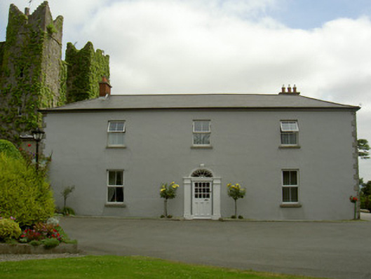 Dún Lughaidhhouse · 152 yd
 CastleCastle, unclassified · 198 yd
 Castletown MotteArchaeological place · 389 yd
 Dun Dealgan (Man-made underground passage)Man-made underground passage · 394 yd
 St. Johns Well (Covered)Holy well · 1201 yd
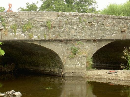 Saint John's Bridgebridge · 1320 yd
 Dundalk CentralHeritage attraction · 1.1 mi
 Photo GalleryHeritage attraction · 1.1 mi
 Maid of ErinMemorial · 1.2 mi
 Bombing 1975Memorial · 1.3 mi
 Battle of FaughartMajor battlefield · 2.5 mi
 Soldiers' PointHeadland · 3.2 mi
Other information
Photo: Credit not shown in the picture search · Rights wording not checked; contact us if this picture should be removed