
What is recorded here
The following description is derived from both the published 'Archaeological Inventory of County Louth' (Dublin: Stationery Office, 1986) and the 'Archaeological Survey of County Louth' (Dublin: Stationery Office, 1991). In certain instances the entries have been revised and updated in the light of recent research.
Date of upload/revision: 17 July 2007
Located in slope on S side of 'Dun Dealgan' motte (LH007-118007-). The Man-made underground passage consists of three-drystone-built passages forming a Z-shaped plan. The first passage (L 3.9m) extends SW-NE, turning sharply NW to form Passage 2 (L 7.8m). At the NW end of Passage 2 there is a sharp turn into Passage 3 (L 5.8m) which runs S-N. (CLAJ 1912, 25-6).
The monument record does not grant public access. Check the route and ask the landowner before entering private land.
- What survives
- Recorded monument
Places near here
 Castletown MotteArchaeological place · 23 yd
 Dun DealganCastle, motte and bailey · 24 yd
 Church (in Ruins)Church · 394 yd
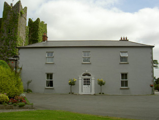 Dún Lughaidhhouse · 455 yd
 St. Johns Well (Covered)Holy well · 1425 yd
 Habitation site in DonaghmoreHabitation site · 1605 yd
 Dundalk CentralHeritage attraction · 1.0 mi
 Photo GalleryHeritage attraction · 1.1 mi
 Maid of ErinMemorial · 1.3 mi
 Bombing 1975Memorial · 1.3 mi
 Battle of FaughartMajor battlefield · 2.7 mi
 Soldiers' PointHeadland · 3.4 mi
Other information
Photo: Credit not shown in the picture search · Rights wording not checked; contact us if this picture should be removed