
What is recorded here
A residential development at Haw, Churchtown, Carrigans, Lifford, was located immediately adjacent to the boundary wall of St Baithín’s/Taughboyne church (DG055-016001-) and graveyard (DG055–016002-), originally dating to the medieval period. The graveyard also contained the site of a holy well (DG055–015----). Testing of the development site by Maurice F. Hurley under licence No. 07E1073 revealed that it was composed of made ground and ground scarped back to bedrock in recent years. A dump of 19th–20th-century building rubble lay alongside the foundation of an 18th/19th-century wall. The artefacts included chinaware and plastic (Bennett 2010, 79).
The above description was derived from the 'Archaeological Survey of County Donegal. A description of the field antiquities of the County from the Mesolithic Period to the 17th century.' Compiled by: Brian Lacey with Eamon Cody, Claire Cotter, Judy Cuppage, Noel Dunne, Vincent Hurley, Celie O'Rahilly, Paul Walsh and Seán Ó Nualláin (Lifford: Donegal County Council, 1983). In certain instances the entries have been revised and updated.
Compiled by Caimin O'Brien
Date of upload/revision: 18 November 2011
Linked to St Baithín, an early Irish saint associated with the church at Tughboyne, the site may have been a place of pilgrimage or prayer, reflecting the tradition of holy wells and sacred sites near ecclesiastical foundations in early Christian Ireland. Local folklore often connected such wells with healing properties and seasonal rituals.
The monument record does not grant public access. Check the route and ask the landowner before entering private land.
- What survives
- Recorded monument
Places near here
 Taughboyne ChurchChurch · 56 yd
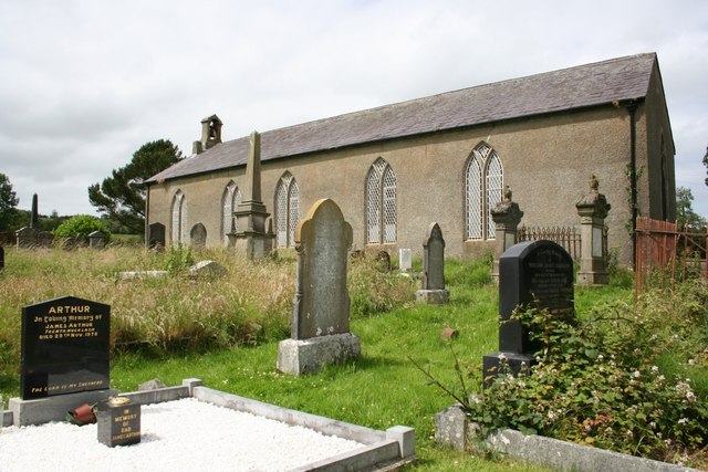 Taughboyne Church of Ireland Churchchurch/chapel · 59 yd
 Castlethird Stone RingfortFairy fort / stone ringfort · 998 yd
 Former Listicall Lower Fairy Fort and Man-made underground passageFairy fort / ringfort · 1315 yd
 CastleCastle, unclassified · 1.9 mi
 Emmery Celtic CrossWood · 3.0 mi
 Mongavlin CastleHouse, fortified house · 3.9 mi
 Gortmonly HillMountain / peak · 4.6 mi
 Grianán of AileachFairy fort / stone ringfort · 4.8 mi
 Greenan MountainMountain / peak · 4.8 mi
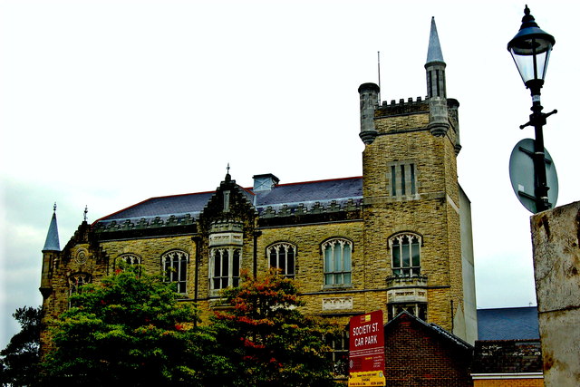 Apprentice Boys of Derry and Siege MuseumMuseum · 6.4 mi
 Diamond War MemorialMemorial · 6.5 mi
Other information
Photo: Credit not shown in the picture search · Rights wording not checked; contact us if this picture should be removed