What is recorded here
Two standing stones are noted here on the OS 6-inch maps but only one is now standing. It is .94m high × 0.8m wide × 0.8m thick; NNE-SSW. The other stone, 2.94m long × 0.84m wide × 0.48m thick is now lying beside it but part of it is unweathered indicating that it was once standing. Situated in a low-lying position on good level land.
The above description was derived from the 'Archaeological Survey of County Donegal. A description of the field antiquities of the County from the Mesolithic Period to the 17th century.' Compiled by: Brian Lacey with Eamon Cody, Claire Cotter, Judy Cuppage, Noel Dunne, Vincent Hurley, Celie O'Rahilly, Paul Walsh and Seán Ó Nualláin (Lifford: Donegal County Council, 1983). In certain instances the entries have been revised and updated.
Date of upload: 22 September 2008
Likely dating to the Bronze Age, the standing stone may have served a ceremonial or territorial function. Such stones are often associated with ritual activity or as markers for early field systems and pathways.
The monument record does not grant public access. Check the route and ask the landowner before entering private land.
- What survives
- Recorded monument
Places near here
 Ulster Scots Heritage Centremanse · 1211 yd
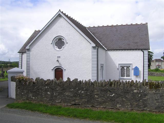 Monreagh Presbyterian Churchchurch/chapel · 1280 yd
 CastleCastle, unclassified · 1386 yd
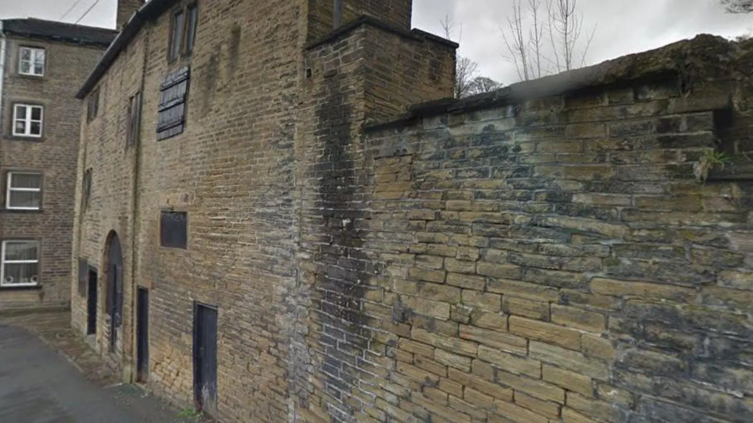 Former Clashygowan EnclosureEnclosure · 1.2 mi
 Castlethird Stone RingfortFairy fort / stone ringfort · 1.3 mi
 Mongavlin CastleHouse, fortified house · 3.0 mi
 Gortmonly HillMountain / peak · 3.2 mi
 Emmery Celtic CrossWood · 3.7 mi
 Prehen WoodsForest · 4.9 mi
 BATTLE SITE: BATTLE OF THE FORDS, Northern crossing, 1689 in Ballydonaghy; Greenlaw; LeckpatrickBATTLE SITE: BATTLE OF THE FORDS, Northern crossing, 1689 · 4.9 mi
 Double BastionViewpoint · 5.8 mi
 Seán Ó CianáinMemorial · 5.9 mi