
What is recorded here
No wall, gate or yard remains to mark Carrigans Castle, yet it is still the kind of place where loss becomes visible. O'Donnell built it, his mother lived there until 1600, and Chichester sold it in 1610 without a clean claim. Sir Ralph Bingley took the deal and lost the place again. The castle vanished from the land but it did not vanish from the story: it keeps giving and taking, the way Donegal still does.
Carrigans Castle: Marked on Mercator's map of 1580, this castle was built by O'Donnell and occupied by his mother until 1600. It was sold by Chichester to Sir Ralph Bingley in 1610 but the former did not have proper title and Bingley was dispossessed. No visible trace of this castle survives and its exact location is unknown (Davies and Swan 1939, 197-8).
The above description was derived from the 'Archaeological Survey of County Donegal. A description of the field antiquities of the County from the Mesolithic Period to the 17th century.' Compiled by: Brian Lacey with Eamon Cody, Claire Cotter, Judy Cuppage, Noel Dunne, Vincent Hurley, Celie O'Rahilly, Paul Walsh and Seán Ó Nualláin (Lifford: Donegal County Council, 1983). In certain instances the entries have been revised and updated.
Date of upload: 22 September 2008
Carrigans Castle was initially built by the O'Donnell family and occupied by the mother of the clan until 1600, later being sold by Chichester to Sir Ralph Bingley in 1610. It is remembered for its early map appearance in 1580 and its transition from Gaelic to English control during the early 17th century.
This remains an important historical record, but the official description says the monument is no longer visible or has been destroyed. The monument record does not grant public access. Check the route and ask the landowner before entering private land.
- What survives
- No visible remains or recorded as destroyed
Places near here
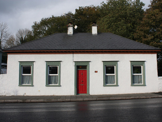 The Lodgehouse, gate lodge · 169 yd
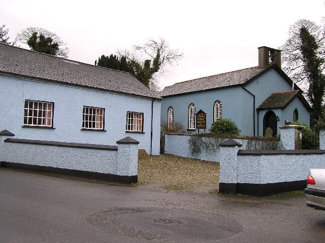 St. Fiach's Church of Ireland Churchchurch/chapel · 201 yd
 IndicatedHoly well · 1.9 mi
 Fairy fort / ringfort in AltaghaderryFairy fort / ringfort · 1.9 mi
 Gortmonly HillMountain / peak · 2.9 mi
 Mongavlin CastleHouse, fortified house · 3.4 mi
 Emmery Celtic CrossWood · 3.5 mi
 Prehen WoodsForest · 4.1 mi
 Curryfree HillMountain / peak · 4.7 mi
 Double BastionViewpoint · 5.0 mi
 Foyle Valley Railway MuseumMuseum · 5.1 mi
 Church BastionViewpoint · 5.1 mi
Other information
Photo: Credit not shown in the picture search · Rights wording not checked; contact us if this picture should be removed