What is recorded here
Raised circular area (int. dims. 30.5m ENE-WSW; 28.5m NNW-SSE) enclosed by traces of a substantial earthen bank and a wide, shallow fosse. In the NW quadrant the bank does not rise above the internal area. Original entrance not recognisable. Internal area slopes fairly steeply to NW and NNE.
From the National Monuments Service (Archaeological Survey of Ireland) record CV025-058
The monument record does not grant public access. Check the route and ask the landowner before entering private land.
- What survives
- Recorded monument
Places near here
Photo credits
- National Inventory of Architectural Heritage
- Bruce Marlin, Wikimedia Commons · CC BY 3.0
- Christian Pirkl, Wikimedia Commons · CC BY-SA 3.0 at
- Peter Gerken, Geograph · CC BY-SA 2.0
- Deadstar, Wikimedia Commons · CC BY-SA 4.0
- Adam Simpson, Geograph · CC BY-SA 2.0
- Oliver Dixon, Wikimedia Commons · CC BY-SA 2.0
Bawn in MoynehallBawn · 912 yd Cavan SchoolSchool · 1066 ydSaint Clare's CottageHouse · 1094 ydThe PlowMonument · 1346 ydOwen Roe O'Neill graveMemorial · 1.1 miAghalackan WestMountain / peak · 1.6 miCucumber Magnolia2.7 miSycamore2.7 miRambling at Farnham EstateVisitor information · 2.8 miFin Mc Cools FingersStone row · 3.7 miClogh Oughter CastleCastle, Anglo-Norman masonry castle · 5.2 miCloughoughter CastleIsland castle ruin · 5.4 mi
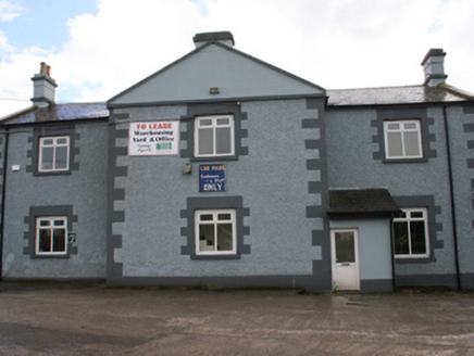 Cavan SchoolSchool · 1066 yd
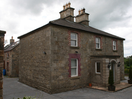 Saint Clare's CottageHouse · 1094 ydThe PlowMonument · 1346 ydOwen Roe O'Neill graveMemorial · 1.1 miAghalackan WestMountain / peak · 1.6 mi
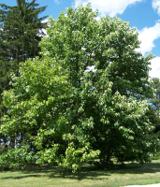 Cucumber Magnolia2.7 mi
 Sycamore2.7 mi
 Rambling at Farnham EstateVisitor information · 2.8 mi
 Fin Mc Cools FingersStone row · 3.7 mi
 Clogh Oughter CastleCastle, Anglo-Norman masonry castle · 5.2 mi
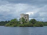 Cloughoughter CastleIsland castle ruin · 5.4 mi
More archaeology and monuments in County Cavan · All of County Cavan
What do you know about this place?