Places near here
Photo credits
- National Inventory of Architectural Heritage
- Kmcnamee, Wikimedia Commons · CC BY-SA 4.0
- Jonathan Billinger, Wikimedia Commons · CC BY-SA 2.0
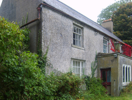 Wilmount HouseFarm house · 381 yd
Explorer Tom Wilmount House in Garryvarren would describe itself to a stranger as 'a sophisticated early eighteenth-century…
 farm house848 yd
Explorer Tom Farm house in Coole has a tall tale about a hidden tunnel that leads straight to the local pub, so you could get home…
 Crossabeg-Ballymurn GAA pitchGAA ground · 926 yd
 Kilmallock BridgeBridge · 1.3 mi
Explorer Tom Kilmallock Bridge would take its lotto win and buy a very expensive coat for the River Sow just to keep it warm in…
 Garrylough HouseFarm house · 1.3 mi
Explorer Tom Garrylough House in Garrylough Lower would order a chipper with extra mushy peas if it could talk to the locals about…
 Garrylough MillMill (water) · 1.5 mi
Explorer Tom Garrylough Mill is handling a nosey neighbour by pretending it doesn't see them. Maurice Roche built this place to…
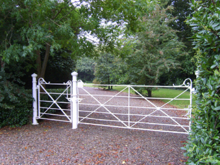 Kilmallock HouseFarm house · 1.6 mi
Explorer Tom Kilmallock House in Kilmallock has got a bird that absolutely refuses to leave the battlements. It’s been there so long…
 bridge1.6 mi
Explorer Tom Bridge in Artramon crosses the minor River Sow with an elegant sweep of granite arches that look better than most…
 graveyard/cemetery1.6 mi
Explorer Tom Graveyard in Kilmallock would win a county fair by having its headstones compete in a 'Who Looks Most Haunted' contest…
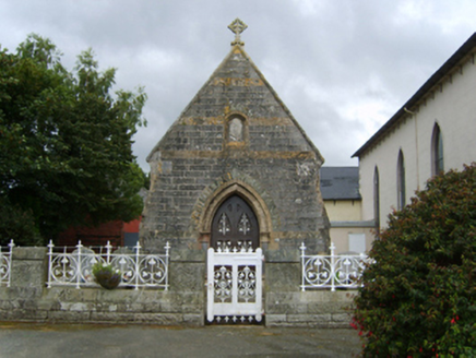 Catholic Church of the Assumption and Saint MalachyMausoleum · 1.9 mi
Explorer Tom Catholic Church of the Assumption and Saint Malachy is a mortuary chapel that doubled as a memorial for the Mahers…
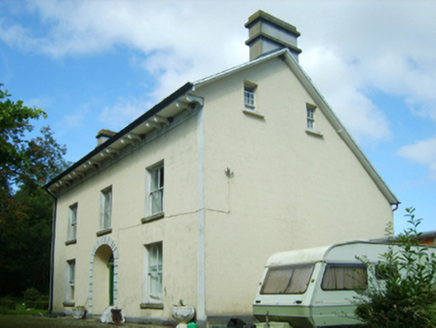 Ballymore HouseFarm house · 1.9 mi
Explorer Tom Ballymore House in Ballymore thinks the road leading to it is a bit of a bore. It refronted an older house because it…
Oylegate-Glenbrien GAA pitchGAA ground · 1.9 miMore archaeology and monuments in County Wexford · All of County Wexford

What do you know about this place?Tap to add a comment or ask a question