
Places near here
Photo credits
- National Inventory of Architectural Heritage
- Mike Searle, Wikimedia Commons · CC BY-SA 2.0
- Willow, Wikimedia Commons · CC BY 2.5
- Gleneary, Wikimedia Commons · CC BY-SA 4.0
- JohnArmagh, Wikimedia Commons · CC BY-SA 3.0
- Tom Quinn, credited by Western People, www.westernpeople.ie
- Western People; image filename attributes Google Maps, individual photographer not named, www.westernpeople.ie
 kiln1573 yd
Explorer Tom The kiln in Furnace is proud of one thing: it never caught fire itself. It just watched everyone else panic while it…
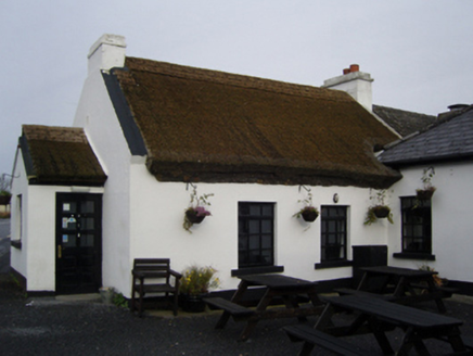 The Village InnFarm house · 1.2 mi
Explorer Tom The Village Inn has strong opinions on modern buildings, thinking they’re all just tin cans with delusions of grandeur.…
 Castle CarraCastle · 1.6 mi
Explorer Tom Castle Carra is where Saint Patrick probably looked around and said, 'This is too much stone for one day' and moved on.…
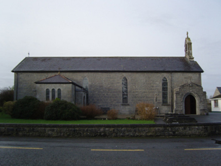 Saint Mary's Catholic ChurchChurch/chapel · 1.6 mi
Explorer Tom Saint Mary’s Catholic Church nearly made the news once because a pigeon got stuck in the bell tower. It’s been trying…
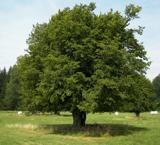 European hornbeam1.7 mi
Explorer Tom European hornbeam once got into a bidding war with a very determined cow who wanted to buy its bark for chewing. The…
 CastlecarraGates/railings/walls · 1.7 mi
Explorer Tom Castlecarra gate screen in Castlecarra took forty cups of tea to build, or so the stones claim. It’s a relic from when…
 Castleburke in ruinsCastle, tower house · 2.1 mi
Explorer Tom Castleburke in ruins is famous for a shortcut that isn't actually a shortcut, just a very long walk. It sits on Lough…
 Srah BridgeBridge · 2.2 mi
Explorer Tom Srah Bridge has given up on cars for Lent and now only allows bicycles and very small pedestrians to cross. It’s an…
 Church (in Ruins)Church · 2.3 mi
Explorer Tom Church in Castlecarra nearly got famous when a film crew almost set up camp right next to it, but they chose the abbey…
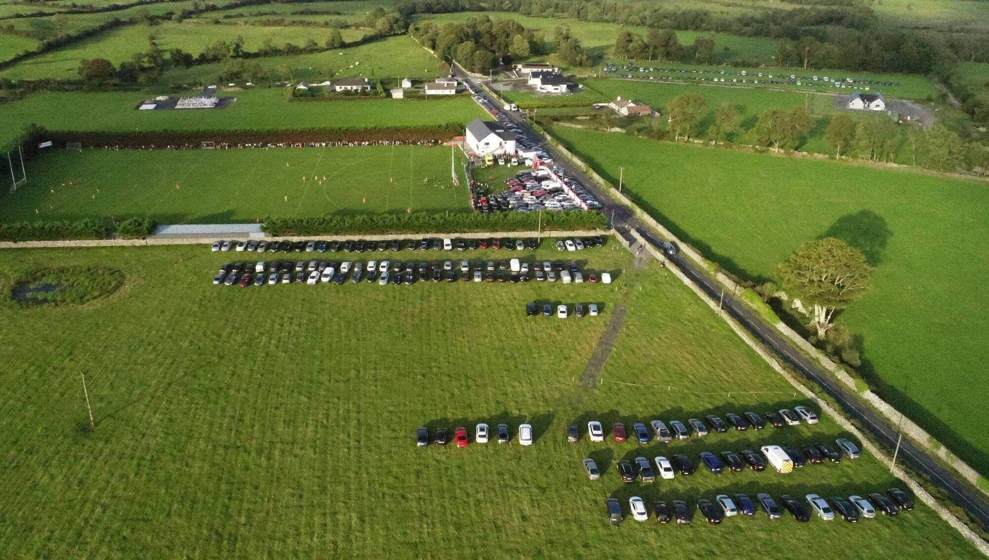 Ray Prendergast Memorial Park, Ballintubber GAAGAA ground · 3.0 mi
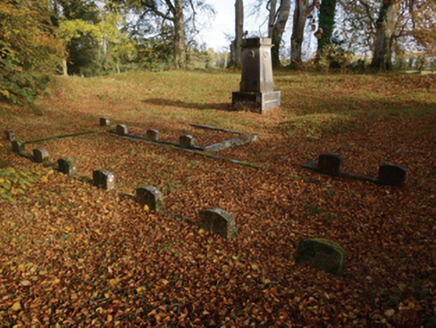 PartryGraveyard/cemetery · 3.2 mi
Explorer Tom Partry graveyard in Cloonlagheen is tucked away inside a ringfort, which means the dead have been living with the…
 Páirc Naomh Muire, Tourmakeady GAAGAA ground · 4.3 mi
More archaeology and monuments in County Mayo · All of County Mayo

What do you know about this place?Tap to add a comment or ask a question