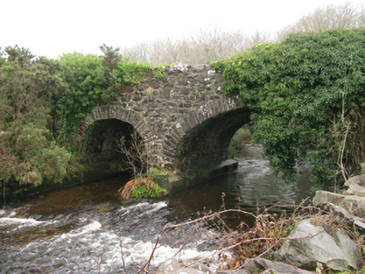
What is recorded here
Two-arch road bridge over river, extant 1838. Now disused. Sited spanning river with unkempt banks to river.
An obsolete bridge regarded as an integral component of the civil engineering heritage of Contae Mhaigh Eo [south County Mayo]: meanwhile, a largely obliterated benchmark remains of additional interest for the connections with cartography and the preparation of maps by the Ordnance Survey (established 1824).
This does not grant access. Most recorded buildings are privately owned; view them only from public ground unless the owner allows entry.
Places near here
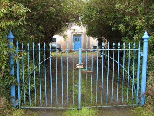 Drimcoggy Lodgefarm house · 1.0 mi
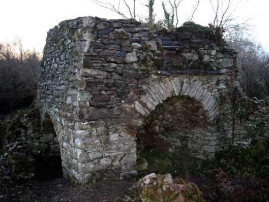 kilnkiln · 1.3 mi
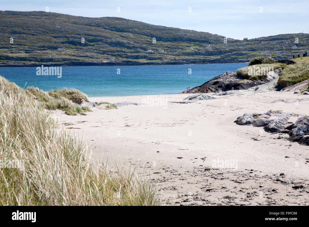 Sweathouse in Derrymore (kilmaine By.)Sweathouse · 1.5 mi
 Doon RockIslet · 1.7 mi
 TobercolumbkilleHoly well · 2.0 mi
 CastleCastle, unclassified · 2.0 mi
 Stony IslandIslet · 3.2 mi
 Coill Thuar Mhic ÉadaighWood · 3.5 mi
 Doon WoodWood · 3.5 mi
 Castle CarraCastle · 3.8 mi
 The Celtic FurrowHeritage attraction · 3.9 mi
 Kiltoom PointHeadland · 4.5 mi
Other information
Photo: National Inventory of Architectural Heritage · Website use allowed for educational or private purposes with source credit