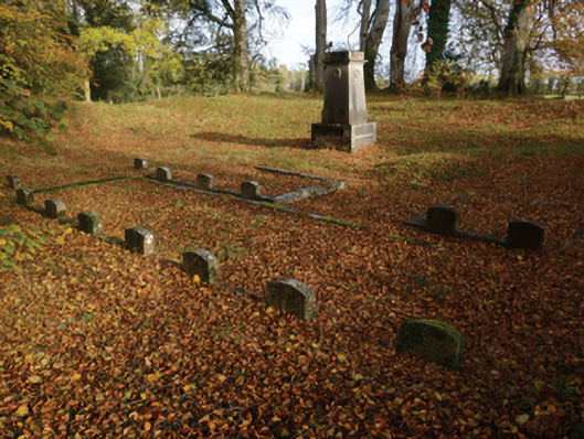
What is recorded here
Private burial ground, opened 1823, including: Freestanding garland-detailed cut-limestone monument on a square plan on drag edged dragged cut-limestone plinth. Set in wooded grounds shared with Partry with wrought iron-detailed flat iron gate to perimeter.
A private burial ground opened (1823) within the banks of a ringfort [SMR MA109-017001-] contributing positively to the group and setting values of the Partry estate.
From the Buildings of Ireland (National Inventory of Architectural Heritage) record 31310919
This does not grant access. Most recorded buildings are privately owned; view them only from public ground unless the owner allows entry.
Places near here
Photo credits
- National Inventory of Architectural Heritage
- Mike Searle, Geograph · CC BY-SA 2.0
- Oliver Dixon, Geograph · CC BY-SA 2.0
- Mike Searle, Wikimedia Commons · CC BY-SA 2.0
- Willow, Wikimedia Commons · CC BY 2.5
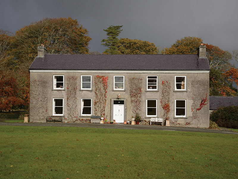 PartryHouse · 358 yd
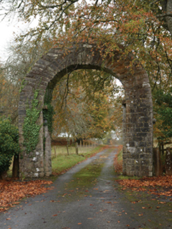 PartryGates/railings/walls · 554 ydIndicatedFairy fort / earthen ringfort · 1235 ydStare IslandIslet · 1682 ydCrane IslandIslet · 1.1 miStanding StoneMonument · 1.3 miKiltoom PointHeadland · 2.8 mi
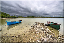 Moore Hall ForestForest · 3.1 mi
 Moore Hall Forest TrailWalking route · 3.3 mi
 Castle CarraCastle · 3.5 mi
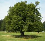 European hornbeam3.6 mi
 Cloonagashel CastleCastle · 4.4 mi
More historic places in County Mayo · All of County Mayo
What do you know about this place?