What is recorded here
In rough pasture, on E-facing slope. Circular area (diam. 33m N-S), heavily overgrown, enclosed by earthen bank (H 1.1m). Gap (L 8m) in bank, on E. The above description has been derived from D. Lavelle (compiler), An Archaeological Survey of Ballinrobe and District including Lough Mask and Lough Carra. Lough Mask and Lough Carra Tourist Development Association (1994), No. 223.
From the National Monuments Service (Archaeological Survey of Ireland) record MA109-016
The monument record does not grant public access. Check the route and ask the landowner before entering private land.
- What survives
- Recorded monument
Places near here
IndicatedEnclosure · 1228 yd PartryGraveyard/cemetery · 1235 ydPartryGates/railings/walls · 1295 ydTobercolumbkilleHoly well · 1598 ydDoon RockIslet · 1.1 miEel IslandIslet · 1.2 miKiltoom PointHeadland · 3.2 miMoore Hall ForestForest · 3.4 miCastle CarraCastle · 3.6 miMoore Hall Forest TrailWalking route · 3.7 miEuropean hornbeam3.7 miCastleburke in ruinsCastle, tower house · 4.7 mi
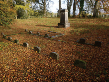 PartryGraveyard/cemetery · 1235 yd
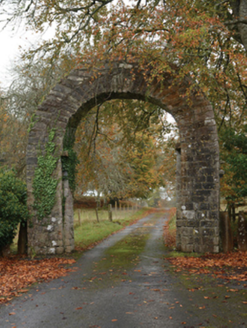 PartryGates/railings/walls · 1295 ydTobercolumbkilleHoly well · 1598 ydDoon RockIslet · 1.1 miEel IslandIslet · 1.2 miKiltoom PointHeadland · 3.2 mi
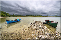 Moore Hall ForestForest · 3.4 mi
 Castle CarraCastle · 3.6 mi
 Moore Hall Forest TrailWalking route · 3.7 mi
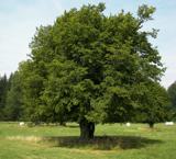 European hornbeam3.7 mi
 Castleburke in ruinsCastle, tower house · 4.7 mi
Pictures: National Inventory of Architectural Heritage; Mike Searle, Geograph · CC BY-SA 2.0; Mike Searle, Wikimedia Commons · CC BY-SA 2.0; Oliver Dixon, Geograph · CC BY-SA 2.0; Willow, Wikimedia Commons · CC BY 2.5; Gleneary, Wikimedia Commons · CC BY-SA 4.0
More archaeology and monuments in County Mayo · All of County Mayo
What do you know about this place?