What is recorded here
In low-lying pasture, on SE-facing slope. Marked on OS map (1838) as circular enclosure. Local tradition of ringfort. Levelled; no visible surface traces. The above description has been derived from D. Lavelle (compiler), An Archaeological Survey of Ballinrobe and District including Lough Mask and Lough Carra. Lough Mask and Lough Carra Tourist Development Association (1994), No. 329.
From the National Monuments Service (Archaeological Survey of Ireland) record MA109-020
The monument record does not grant public access. Check the route and ask the landowner before entering private land.
- What survives
- Recorded monument
Places near here
IndicatedFairy fort / earthen ringfort · 1228 ydEel IslandIslet · 1380 ydRough IslandIsland · 1.0 mi PartryGates/railings/walls · 1.2 miTobercolumbkilleHoly well · 1.2 miPartryHouse · 1.3 miCastle in ruinsCastle, unclassified · 2.6 miMoore Hall ForestForest · 4.1 miCastle CarraCastle · 4.2 miEuropean ash4.2 miMoore Hall Forest TrailWalking route · 4.4 miRunnet HillMountain / peak · 5.4 mi
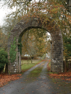 PartryGates/railings/walls · 1.2 miTobercolumbkilleHoly well · 1.2 mi
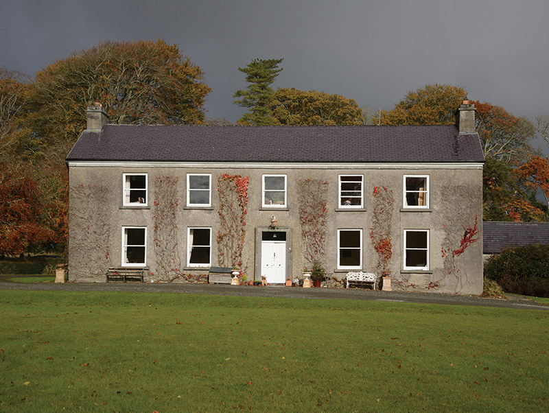 PartryHouse · 1.3 miCastle in ruinsCastle, unclassified · 2.6 mi
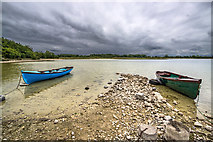 Moore Hall ForestForest · 4.1 mi
 Castle CarraCastle · 4.2 mi
 European ash4.2 mi
 Moore Hall Forest TrailWalking route · 4.4 mi
 Runnet HillMountain / peak · 5.4 mi
Pictures: National Inventory of Architectural Heritage; Mike Searle, Geograph · CC BY-SA 2.0; Mike Searle, Wikimedia Commons · CC BY-SA 2.0; Willow, Wikimedia Commons · CC BY 2.5; Oliver Dixon, Geograph · CC BY-SA 2.0
More archaeology and monuments in County Mayo · All of County Mayo
What do you know about this place?