
What is recorded here
Thirty-two feet of Bourke stone still stands on the eastern shore of Lough Mask, its narrow chamber holding the breath of centuries. Three arches once carried a walk above the water while a hidden doorway waited on the north wall for footsteps that never stopped coming. The castle resisted ruin long enough to become a house, proving that even ruined things can learn new uses when people refuse to leave them behind.
On E shore of L. Mask. Castle (int. dims. '32 feet 4 inches by 25 feet'), with doorway on N wall of first floor. Three arches inside E wall supported a walk and parapet. Trace of low vault or arch on N wall, but no indication of vaulting. N and S walls were gables. Inhabited into the nineteenth century. Later converted into Cushlough House. (Knox 1903, 97-8). MacTibbot Bourke castle (Knox 1908, 284).
The above description has been derived from D. Lavelle (compiler), An Archaeological Survey of Ballinrobe and District including Lough Mask and Lough Carra. Lough Mask and Lough Carra Tourist Development Association (1994), No. 691.
Date of upload: 5 November 2013
Built in the late 13th or early 14th century, likely by a local Anglo-Norman lord, Castle in Ruins, Cuslough Demesne is remembered for its strategic position on the east shore of Lough Mask, offering defensive control over a key area of the western Irish landscape.
The monument record does not grant public access. Check the route and ask the landowner before entering private land.
- What survives
- Recorded monument
Places near here
 Church in ruinsChurch · 420 yd
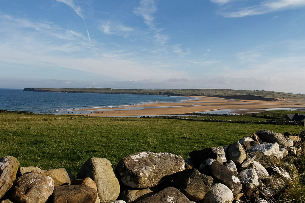 Templenaleckagh in ruinsChurch · 840 yd
 Castle HagFortification · 1261 yd
 Carrigeen ShangormanIslet · 1410 yd
 Castle Hag RockIslet · 1413 yd
 IndicatedFairy fort / stone ringfort · 1.0 mi
 LabbadermotCave · 1.8 mi
 CastleCastle, unclassified · 2.2 mi
 Devenish RocksNamed rock · 2.2 mi
 European ashEuropean ash · 2.3 mi
 Black RocksNamed rock · 2.4 mi
 Loughmask CastleCastle · 2.9 mi
Other information
Photo: Credit not shown in the picture search · Rights wording not checked; contact us if this picture should be removed