
What is recorded here
At S end of spit of land, once island of Inishrobe. Ruins of rectangular church (3m N-S; 8.6m E-W); later abandoned in favour of new church (MA117-005001-) (Knox 1908, 94). Walls stand to max. H 1.5m (wall T 0.8m); though poorly preserved. Beehive-like huts to NW and W. Site may have origins in Early Christian Period.
The above description has been derived from D. Lavelle (compiler), An Archaeological Survey of Ballinrobe and District including Lough Mask and Lough Carra. Lough Mask and Lough Carra Tourist Development Association (1994), No. 614.
Date of upload: 5 November 2013
The monument record does not grant public access. Check the route and ask the landowner before entering private land.
- What survives
- Recorded monument
Places near here
 Castle in ruinsCastle, unclassified · 420 yd
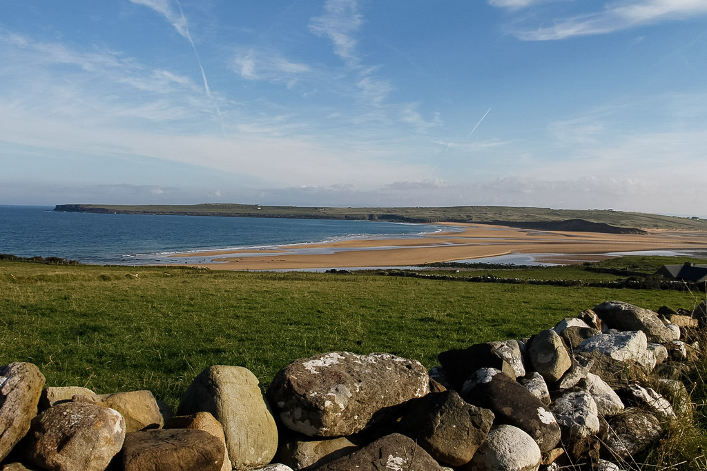 Templenaleckagh in ruinsChurch · 822 yd
 Castle HagFortification · 843 yd
 Castle Hag RockIslet · 994 yd
 Carrigeen ShangormanIslet · 1240 yd
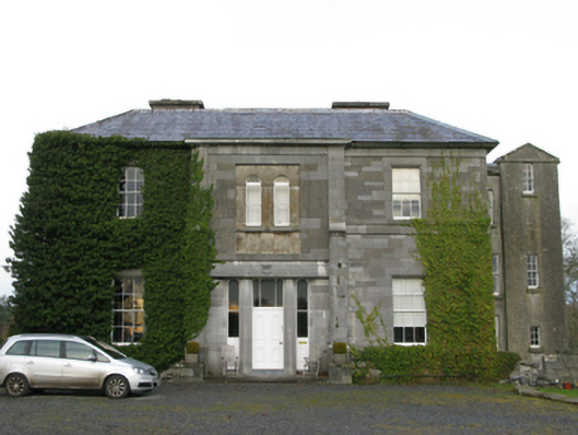 Curraghmorecountry house · 1388 yd
 IndicatedEnclosure · 1559 yd
 LabbadermotCave · 2.1 mi
 Devenish RocksNamed rock · 2.2 mi
 CastleCastle, unclassified · 2.4 mi
 CarrigeenbaunNamed rock · 2.5 mi
 European ashEuropean ash · 2.5 mi
Other information
Photo: Credit not shown in the picture search · Rights wording not checked; contact us if this picture should be removed