What is recorded here
On a low ridge in pasture. Depicted as a large circular enclosure with the designation 'Fort' on the 1837 ed. of the OS 6-inch map. A raised circular area (diam. c. 57m) enclosed by a low scarp (H 0.3m), which has been modified and incorporated into a field boundary from SSW-W-WNW. The original entrance is not recognisable. A report in 1976 (SMR file) recorded an external fosse, which has since been infilled. O'Donovan
Date of upload: 26 August 2011
On a low ridge in pasture. Depicted as a large circular enclosure with the designation 'Fort' on the 1837 ed. of the OS 6-inch map. A raised circular area (diam. c. 57m) enclosed by a low scarp (H 0.3m), which has been modified and incorporated into a field boundary from SSW-W-WNW. The original entrance is not recognisable. A report in 1976 (SMR file) recorded an external fosse, which has since been infilled.…
From the National Monuments Service (Archaeological Survey of Ireland) record LF023-104
The monument record does not grant public access. Check the route and ask the landowner before entering private land.
- What survives
- Recorded monument
Places near here
Photo credits
- National Inventory of Architectural Heritage
- Malene Thyssen, Wikimedia Commons · CC BY-SA 3.0
- Willow, Wikimedia Commons · CC BY 2.5
- Jamesco101, Wikimedia Commons · CC BY-SA 4.0
- SE Keenan, Wikimedia Commons · CC BY-SA 4.0
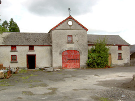 Sunfield HouseFarmyard complex · 467 yd
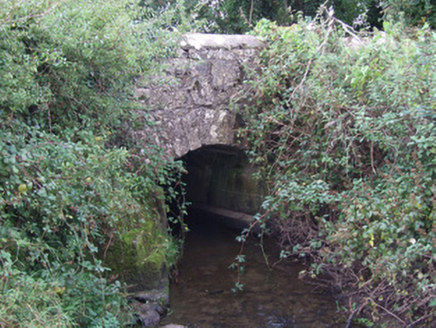 bridge471 ydColumbkilles Well (Site of)Holy well · 482 yd
 European Beech738 yd
 Common Alder1.5 mi
 Abbeyshrule AbbeyRuins · 1.8 miCastleCastle, motte · 2.7 miNot locatedCastle, unclassified · 2.7 miGoldsmith Birthplace, PallasVisitor information · 3.5 miCraft WorkshopHeritage attraction · 4.1 miGuest ServicesVisitor information · 4.1 mi
 Ardagh Clock TowerMonument · 4.8 mi
More archaeology and monuments in County Longford · All of County Longford
What do you know about this place?