
What is recorded here
On wet, low-lying ground adjacent to a fast-flowing stream. At the location indicated is a circular waterlogged depression (diam. 3.55m) defined by a series of boulders and some outcropping rock. Another well dedicated to St Columbkille (see LF023-103002-) lies c. 15m to the NW.
Compiled by: Patrick F. O'Donovan
Date of upload: 7 June 2013
Linked to Saint Columba (Columbkille), the well is associated with healing traditions and pilgrimages, particularly for ailments related to water or the kidneys. The site's circular waterlogged depression and surrounding boulders suggest a long history of ritual use and reverence in the local landscape.
The monument record does not grant public access. Check the route and ask the landowner before entering private land.
- What survives
- Recorded monument
Places near here
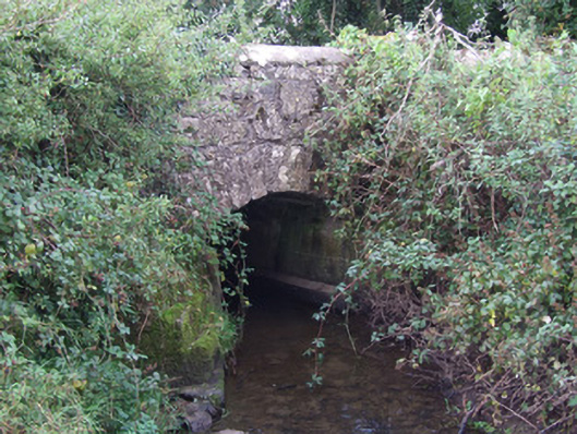 bridgebridge · 28 yd
 post boxpost box · 147 yd
 European BeechEuropean Beech · 278 yd
 Enclosure in RatharneyEnclosure · 283 yd
 Indicated FortFairy fort / earthen ringfort · 482 yd
 Common LimeCommon Lime · 1.4 mi
 Abbeyshrule AbbeyRuins · 1.6 mi
 Not locatedCastle, unclassified · 2.5 mi
 CastleCastle, motte · 2.6 mi
 Goldsmith Birthplace, PallasVisitor information · 3.3 mi
 Craft WorkshopHeritage attraction · 3.8 mi
 Guest ServicesVisitor information · 3.8 mi
Other information
Photo: Credit not shown in the picture search · Rights wording not checked; contact us if this picture should be removed