
What is recorded here
In gently undulating farmland within the former demesne of Dunmore House, a late 18th-C mansion (Bence-Jones 1978, 116) which stands 170m to NNE. Poorly preserved oval enclosure (N-S 37m, E-W 25.5m) defined by a bank of earth and stone (H 0.9m max. ext.) and a narrow shallow external fosse (Wth 1m). The interior rises towards the centre.
The above description is derived from the published 'Archaeological Inventory of County Galway Vol. II - North Galway'. Compiled by Olive Alcock, Kathy de hÓra and Paul Gosling (Dublin: Stationery Office, 1999).
Date of upload: 05 August 2010
A local fairy fort (ringfort/rath); wider significance not recorded.
The monument record does not grant public access. Check the route and ask the landowner before entering private land.
- What survives
- Recorded monument
Places near here
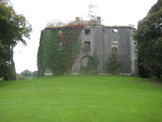 Dunmore Housecountry house · 174 yd
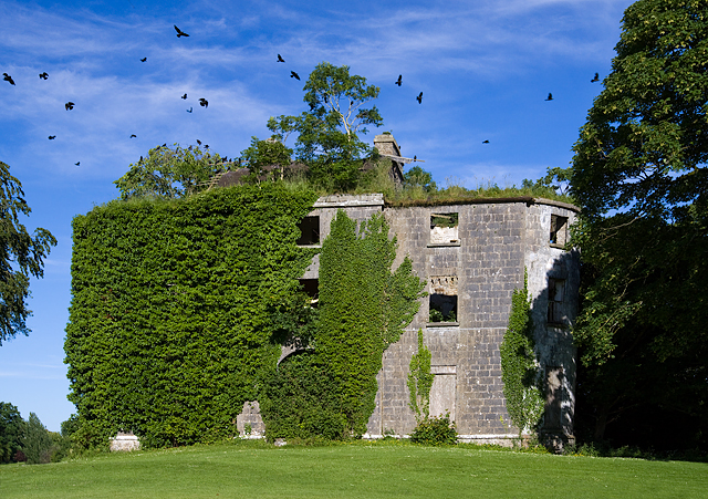 Country house in Dunmore DemesneCountry house · 179 yd
 Cross in DunmoreCross · 486 yd
 Enclosure in BreanraEnclosure · 561 yd
 Dunmore CastleCastle · 1344 yd
 Site of Doonbally CastleCastle, unclassified · 3.7 mi
 Slieve DartMountain / peak · 4.1 mi
 European ashEuropean ash · 7.9 mi
 Mass RockNamed rock · 9.8 mi
 KnockmaaWood · 13 mi
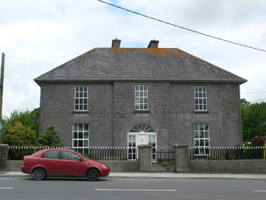 Merton Housepresbytery/parochial/curate's house · 396 yd
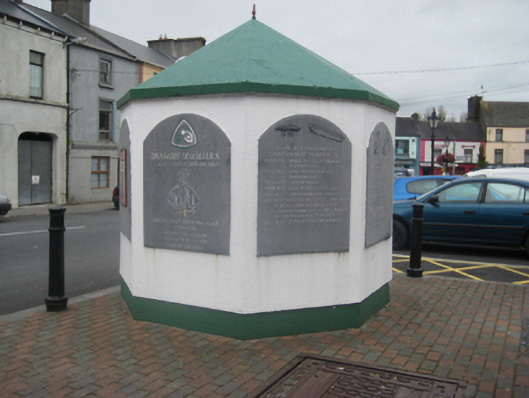 weighbridge/weighhouseweighbridge/weighhouse · 479 yd
Other information
Photo: Credit not shown in the picture search · Rights wording not checked; contact us if this picture should be removed