What is recorded here
That is the story of Earthwork in Dunmore Demesne. It is a vanished earthwork in County Galway, Ireland. The above is a short linked answer, not a claim that one of the named archives is the best possible source for the whole story.
In tillage. Marked on 3rd ed. of OS 6-inch map (1932) as a small circular mound (D c. 20m). This was confirmed by local information which suggests that it was of earthen construction and c. 2m in height. Recently levelled as a result of land clearance; a circular gravelly area now marks the spot.
The above description is derived from the published 'Archaeological Inventory of County Galway Vol. II - North Galway'. Compiled by Olive Alcock, Kathy de hÓra and Paul Gosling (Dublin: Stationery Office, 1999).
Date of upload: 05 August 2010
The monument record does not grant public access. Check the route and ask the landowner before entering private land.
- What survives
- Recorded monument
Places near here
 IndicatedEnclosure · 534 yd
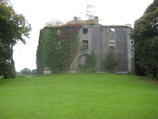 Dunmore Housecountry house · 707 yd
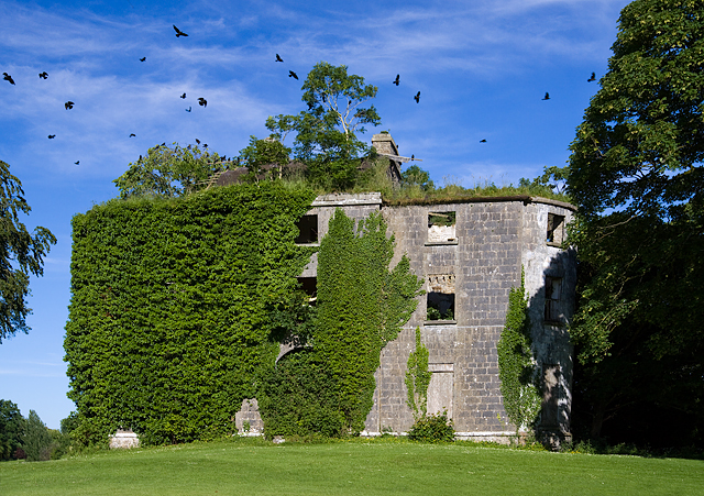 Country house in Dunmore DemesneCountry house · 713 yd
 Enclosure in BreanraEnclosure · 975 yd
 Dunmore CastleCastle · 1669 yd
 Site of Doonbally CastleCastle, unclassified · 3.4 mi
 Slieve DartMountain / peak · 4.4 mi
 European ashEuropean ash · 7.6 mi
 Mass RockNamed rock · 9.5 mi
 SycamoreSycamore · 12 mi
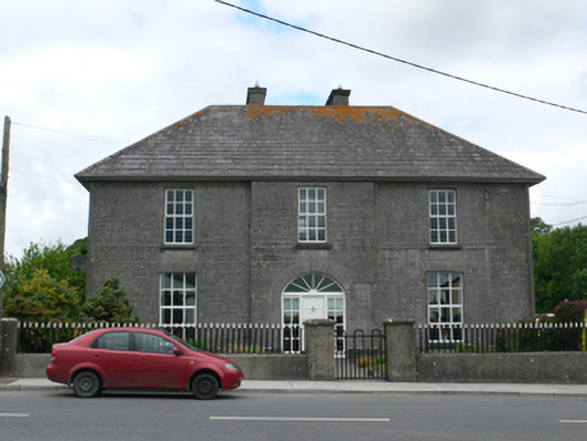 Merton Housepresbytery/parochial/curate's house · 914 yd
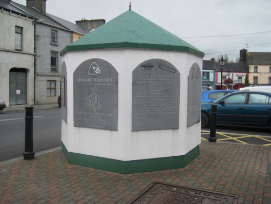 weighbridge/weighhouseweighbridge/weighhouse · 1009 yd