
Places near here
Photo credits
- National Inventory of Architectural Heritage
- Stan Courtney, Geograph · CC BY-SA 2.0
- Malene Thyssen, Wikimedia Commons · CC BY-SA 3.0
- Kenneth Allen, Geograph · CC BY-SA 2.0
- Kieran Campbell, Geograph · Creative Commons Attribution-ShareAlike 2.0
- D Gore, Geograph · CC BY-SA 2.0
- Eric Jones, Wikimedia Commons · CC BY-SA 2.0
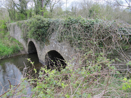 bridge738 yd
Explorer Tom Bridge in Corrinshigo was built by someone who definitely had an escape plan involving a boat and a lot of cheese. It marks a boundary, which is basically just a line drawn by a grumpy official. Stand still and listen to the water flow beneath it.
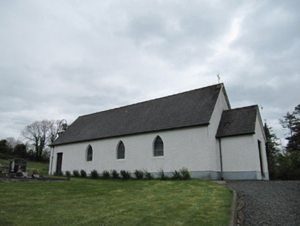 Corrinshigo Catholic ChurchChurch/chapel · 1468 yd
Explorer Tom Corrinshigo Catholic Church would win a county fair by simply standing there with its bell tower. It’s all pointed-arch windows and leaded glazing, looking more dignified than half the contestants in the ring. Bring sandwiches, the gulls are already circling and waiting for a drop.
LattacrossanMountain / peak · 1.4 mi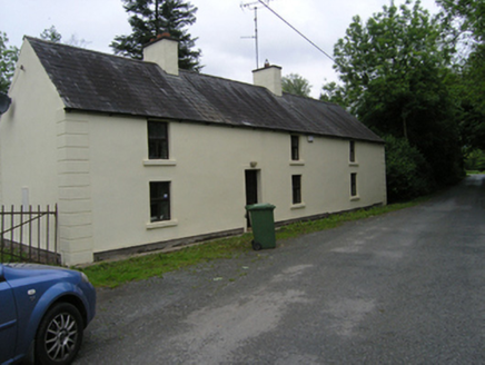 miller's house1.4 mi
Explorer Tom Miller's house in Coppanagh is wearing stucco quoins like a suit at a party where nobody else dressed up. It’s next to derelict houses, which makes it look even more smug about its own cleanliness.
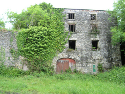 Coppanagh MillsMill (water) · 1.4 mi
Explorer Tom Coppanagh Mills in Coppanagh is a modest corn mill with a wheel that’s seen better days and lots of water. It kept the local economy going for ages, so give it some respect. I bet there’s a tunnel to the pub if you look hard enough.
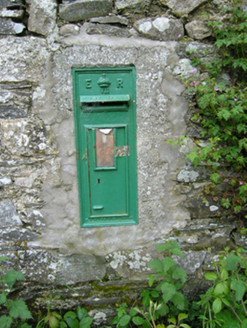 post box1.4 mi
Explorer Tom Post box in Coppanagh is hiding a message in its stones that says 'the milkman owes me money' or something equally important and mysterious. It’s stuck on the corn mill wall like a badge of honor from when rural life actually had some real drama going on. Look closely at the cast iron.
 Carn WoodForest · 1.8 mi
 European Beech2.2 mi
Explorer Tom Another European Beech here remembers the day a goat tried to climb it and failed spectacularly. The whole valley saw the disaster unfold. Tell it a joke, it's been a long time since anyone did.
 Ulster Canal Stores Visitor CentreHeritage attraction · 4.9 mi
 Grave YardGraveyard · 4.9 mi
Explorer Tom Killeevan Glebe graveyard is D-shaped because the map makers were drunk one Tuesday afternoon and couldn’t decide on a square. It sits on a ridge, looking slightly confused about its own geometry. Snap one photo, then put the phone away and actually look.
 Flagpole HillMountain / peak · 5.5 mi
 Dawson MonumentMonument · 5.6 mi
More archaeology and monuments in County Monaghan · All of County Monaghan

What do you know about this place?Tap to add a comment or ask a question