What is recorded here
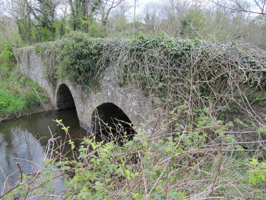
Bridge in Corrinshigo marks a townland boundary and once served a nearby creamery. A dangerous place to ask where the good butter came from: one end of the bridge would answer, and the other would demand a recount.
Two-arch rubble limestone bridge, built c.1800, carrying road over Bunnoe River. Rubble stone walls and parapet walls. Round arches with dressed voussoirs, cut-stone V-cutwater to north face. Rubble stone soffits with some remaining render.
This is a well constructed bridge still in use today, indicating skilled engineering and execution. The use of local materials, small arches, and rubble stone is typical of early bridges on local roads, and it would have been important for the nearby creamery and mill in the past. It makes a pleasing feature in the landscape, glimpsed from nearby roads. Of social interest locally as it demarcates the boundary between two townlands.
From the Buildings of Ireland (National Inventory of Architectural Heritage) record 41402201
This does not grant access. Most recorded buildings are privately owned; view them only from public ground unless the owner allows entry.
Places near here
Photo credits
- National Inventory of Architectural Heritage
- Malene Thyssen, Wikimedia Commons · CC BY-SA 3.0
- Allie_Caulfield from Germany, Wikimedia Commons · CC BY 2.0
- Pamela Norrington, Wikimedia Commons · CC BY-SA 2.0
- Kieran Campbell, Geograph · Creative Commons Attribution-ShareAlike 2.0
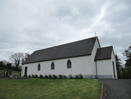 Corrinshigo Catholic ChurchChurch/chapel · 947 yd
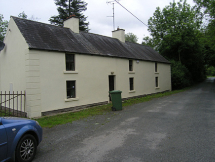 miller's house1664 yd
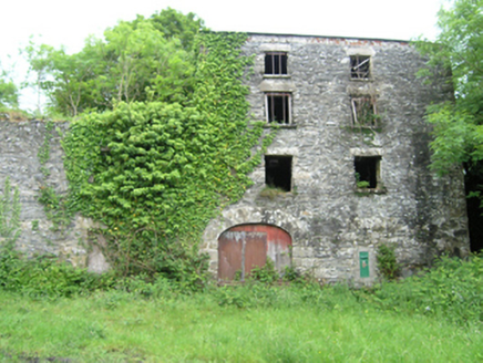 Coppanagh MillsMill (water) · 1701 ydLattacrossanMountain / peak · 1.5 miBarraghMountain / peak · 1.7 miEmbanked enclosureBawn · 2.1 mi
 European Beech2.6 mi
 Coast Redwood3.0 miBawn in DrumsheilBawn · 3.0 miGiant's GraveArchaeological place · 3.7 mi
 Cabragh RingfortArchaeological place · 5.0 mi
 Grave YardGraveyard · 5.2 mi
More historic places in County Monaghan · All of County Monaghan
What do you know about this place?