
What is recorded here
Situated at a narrow part (dim. c. 140m N-S) at the N of the small C-shaped Lough Naglach (Wth c. 140-170m) that is open to the S. A large island is depicted on the 1834 and 1907 editions of the OS 6-inch map. This feature is a large overgrown conical mound (dims c. 43m E-W; c. 38nm N-S) that is probably a natural rise. This forms the base for the crannog and indicates a great drop in water levels (c. 3m). The crannog is a small cairn (diam. 18m) NW of the centre of the island, but no timbers or other evidence of artificial construction is visible.
Some objects from the Shirley collection, now in the National Museum of Ireland, are recorded as coming from a crannog at Lough Naglach, (Lucas 1968, 101, 134, 153). They include a stone axe, a halberd, a bronze harp peg, and iron objects including two ploughshares, an axehead and a spade.
The above description is derived from the published 'Archaeological Inventory of County Monaghan' (Dublin: Stationery Office, 1986). In certain instances the entries have been revised and updated in the light of recent research.
Date of revision: 31 July 2017
The monument record does not grant public access. Check the route and ask the landowner before entering private land.
- What survives
- Recorded monument
Places near here
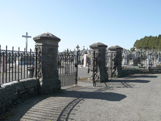 Saint Joseph's Cemeterygates/railings/walls · 202 yd
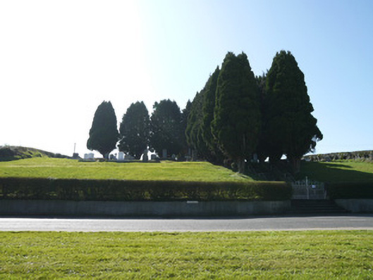 God's Acregraveyard/cemetery · 572 yd
 Crannog in Drummond OtraCrannog · 626 yd
 Man-made underground passage in TrostanMan-made underground passage · 812 yd
 European BeechEuropean Beech · 1.5 mi
 Monkey-puzzleMonkey-puzzle · 1.5 mi
 Mannan Castle (in ruins)Castle, Anglo-Norman masonry castle · 2.9 mi
 Flat cemetery in AnnaheanFlat cemetery · 3.6 mi
 TobernagalliaghSpring · 4.0 mi
 BarleyhillMountain / peak · 4.6 mi
 Drumerlough MoreMountain / peak · 4.7 mi
 Castle ruinsCastle, unclassified · 5.1 mi
Other information
Photo: Credit not shown in the picture search · Rights wording not checked; contact us if this picture should be removed