What is recorded here
In Easkey village, located on a low bluff overlooking the Easkey River, which lies c. 25m to E. Roughly L-shaped walled graveyard (c. 30m NNW-SSE; c. 20m ENE-WSW) which encloses the W and S sides of a late medieval church (SL011-021----). The entrance gate is in the high, stone-built W wall of the graveyard, opening directly off the main street of the village. A low rectangular stone-built bench abutting the outer face of the graveyard wall at NW may have served as a coffin rest (Moore 2016, 5). Within the graveyard are grave slabs, headstones, table tombs and chest tombs, with the greatest density in the N half of the graveyard. Where inscription can be read, the graves date to the 19th century. Interspersed between the formal graves, are rows of low, uninscribed stone grave markers. A stone, which barely protrudes above the ground surface, adjacent to a 19th-century grave in the N half of the graveyard, appears to be a quernstone or millstone, which was reused as a gravemarker (Pers. comm. Tamlyn McHugh, 2019).
In the SW corner of the graveyard is a small rectangular building (int. dims. 4.1m E–W; 3m N–S) with mortared stone walls (H 0.8-1.05m; Wth 0.4-0.6m), probably dating to early 19th century. It is roofless and the walls are partly concealed by ivy. The W gable is incorporated into the W wall of the graveyard. There is a flat-headed doorway in the E gable and a narrow, broken out window towards the W end of the N wall. There is a small stone font set into the inner face of the E wall to N of the doorway. Abutting the W gable are two pedestals (H 0.5m), set 0.72m apart, which appear to have supported an altar. The interior floor space, now grass-grown, is occupied by two grave slabs.
Attached images:
SL011-021001-_01.JPG Graveyard wall, viewed from SW
SL011-021001-_02.JPG N half of graveyard, viewed from S
SL011-021001-_03.JPG 19th-century box tomb, viewed from W
SL011-021001-_04.JPG Building in SW quadrant of graveyard, viewed from SE
Compiled by: Jane O’Shaughnessy
Date of revised upload: 4 November 2019
The monument record does not grant public access. Check the route and ask the landowner before entering private land.
- What survives
- Recorded monument
Places near here
 AbbeyChurch · 16 yd
 Cross in CurraghnagapCross · 74 yd
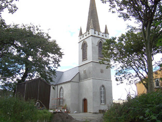 Saint Anne's Church (Easky)church/chapel · 82 yd
 Field boundary in BunownaField boundary · 122 yd
 Bawn in CastletownBawn · 598 yd
 Wild Atlantic Way: Easky PierVisitor information · 731 yd
 Roslee CastleCastle, tower house · 762 yd
 Bunowna PointHeadland · 901 yd
 Jim Smith MemorialMemorial · 1511 yd
 Cooanmore PointHeadland · 1.3 mi
 Wild Atlantic Way: Inishcrone PierVisitor information · 7.1 mi
 Grave of the Black PigArchaeological place · 7.9 mi