What is recorded here
Situated on a gentle SE-facing slope at the E foothills of the Monavullagh Mountains. This is a possible early ecclesiastical site, although it has no known history or traditions. Oval grass-covered area (dims. 70m NE-SW; 55m NW-SE) defined by an overgrown earthen bank (Wth 6.5m at SE (downslope) to 9m at NE; int. H 1m at SE to 1.6m at NE; ext. H 2.8-3.2m at SE), with internal stone-facing at SE. This is surrounded by a complete outer fosse (Wth of top 4-7.8m; Wth of base 1.5-2m; ext. D 0.7-1m). There is a modernised entrance (Wth 3m) and causeway (Wth 7m) at SW, and there are foundations of a structure (WA014-018007-) against the bank at W. There are four bullaun stones (WA014-018002-, WA014-00804-, WA014-018005-, WA014-018006-) and a possible fifth (WA014-018003-) in the interior.
Compiled by: Michael Moore
Date of upload/revision: 17 November 2010
The monument record does not grant public access. Check the route and ask the landowner before entering private land.
- What survives
- Recorded monument
Places near here
 Church in Crough (decies Without Drum By.)Church · 23 yd
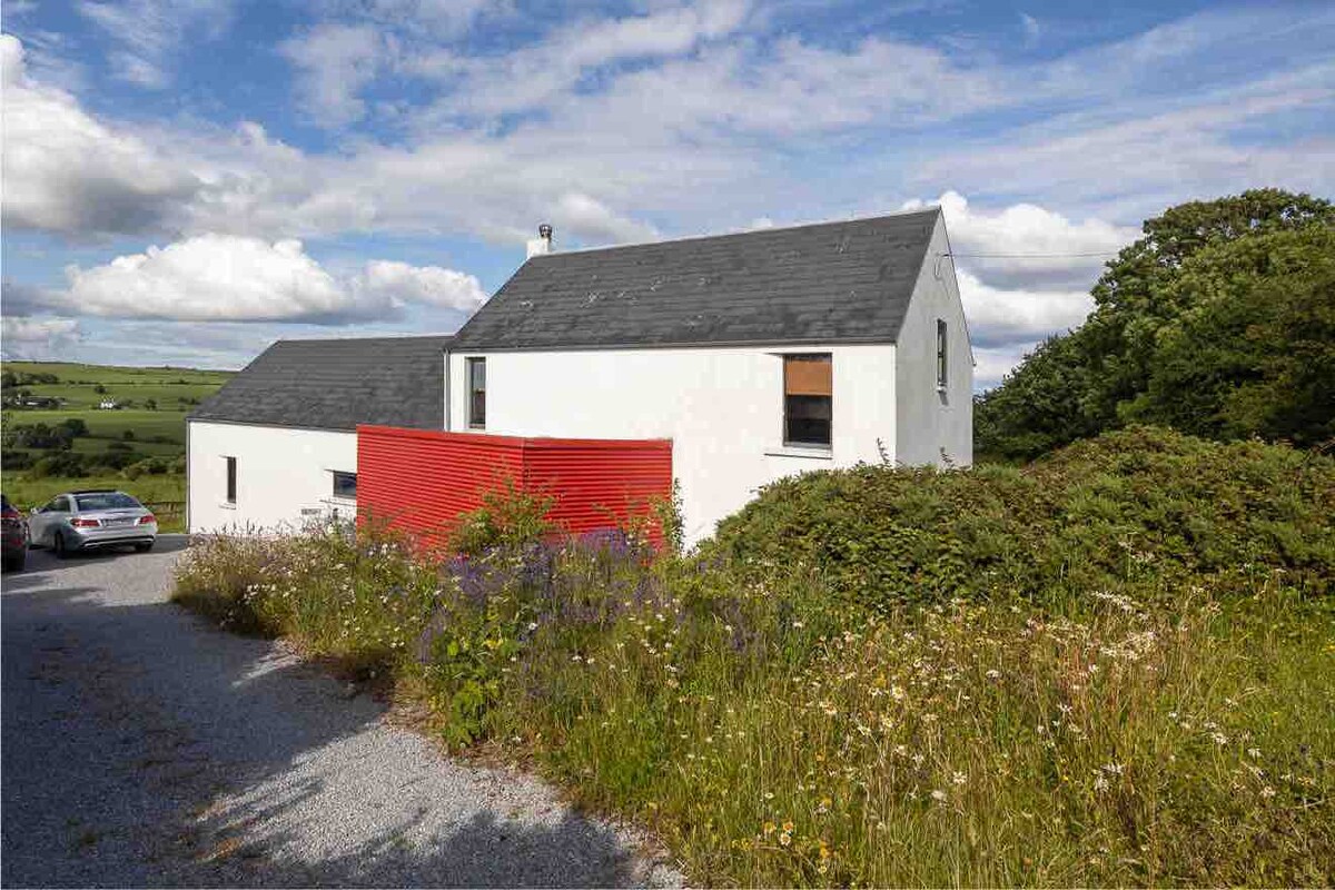 Enclosure in ComeraghhouseEnclosure · 634 yd
 Comeragh Lodgehouse · 1116 yd
 Site of CastleCastle, unclassified · 1165 yd
 IndicatedEnclosure · 1264 yd
 Crough WoodWood · 1308 yd
 Magic Road (finish)Heritage attraction · 1757 yd
 Magic Road (start)Heritage attraction · 1.0 mi
 Mahon ValleyCliff · 2.2 mi
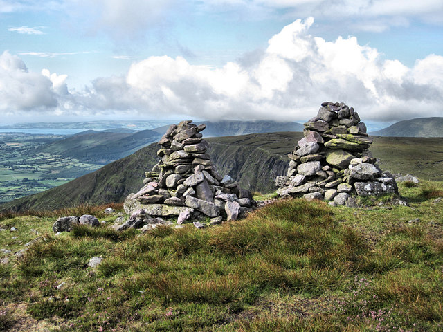 KnockaunapeebraMountain / peak · 2.6 mi
 Bawn in BarnankileBawn · 2.6 mi
 Coumaraglin MountainMountain / peak · 2.8 mi