
What is recorded here
Situated on a gentle SE-facing slope at the E foothills of the Monavullagh Mountains. This is a possible early ecclesiastical site, although it has no known history or traditions. Oval grass-covered area (dims. 70m NE-SW; 55m NW-SE) defined by an overgrown earthen bank (Wth 6.5m at SE (downslope) to 9m at NE; int. H 1m at SE to 1.6m at NE; ext. H 2.8-3.2m at SE), with internal stone-facing at SE. This is surrounded by a complete outer fosse (Wth of top 4-7.8m; Wth of base 1.5-2m; ext. D 0.7-1m). There is a modernised entrance (Wth 3m) and causeway (Wth 7m) at SW, and there are foundations of a structure (ext. dims. 12m E-W; 5.7m N-S) against the bank at W. The walls are grass-covered stone spreads (Wth c. 1.5m), and there is an entrance towards the E end of the N wall that might be mirrored by one on the S wall.
Four bullaun stones of coarse conglomerate, one unfinished, the others with one, two and three basins, are in the interior. The unfinished bullaun stone (WA014-018002-) is sub-triangular (dims. 1.25m x 1.2m) with a single basin (diam. 0.26-0.3m; D 9cm) at the narrower end which has a rectangular depression (dims. 11cm x 12cm) in its base. This may be an unfinished mill-wheel. A D-shaped stone (WA014-018004-)(dims. 0.96m x 0.94m; H 0.2m) has a single basin (diam. 0.3-0.33m; D 9cm). A subrectangular stone (WA014-018005-)(dims. 1.2m x 1.1m) has two oval basins (each: dims. 0.4m x 0.28m; D 0.11; 0.13m), one perhaps damaged. A rectangular stone (WA014-018006-)(dims. 1.1m x 0.85m; T 0.35m) with damaged corners has three basins (dims. 0.4m x 0.3m; D 0.2m: 0.32m x 0.3m; D 0.13m: diam. 0.28m; D 0.1m). An area of rock outcrop (WA014-018003-)(diam. 2.3m; H c. 0.3m) at the centre may be further evidence of the production of bullaun stones.
The above description is derived from the published 'Archaeological Inventory of County Waterford' (Dublin: Stationery Office, 1999). In certain instances the entries have been revised and updated in the light of recent research.
Compiled by: Michael Moore
Date of upload/revision: 17 November 2010
A local church or high cross; wider significance not recorded.
The monument record does not grant public access. Check the route and ask the landowner before entering private land.
- What survives
- Recorded monument
Places near here
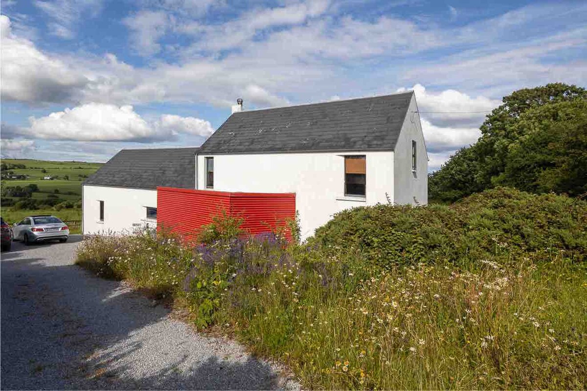 Enclosure in ComeraghhouseEnclosure · 642 yd
 Comeragh Lodgehouse · 1139 yd
 Comeragh Househouse · 1149 yd
 Site of CastleCastle, unclassified · 1188 yd
 IndicatedEnclosure · 1268 yd
 Crough WoodWood · 1327 yd
 Magic Road (finish)Heritage attraction · 1759 yd
 Magic Road (start)Heritage attraction · 1.0 mi
 Mahon ValleyCliff · 2.2 mi
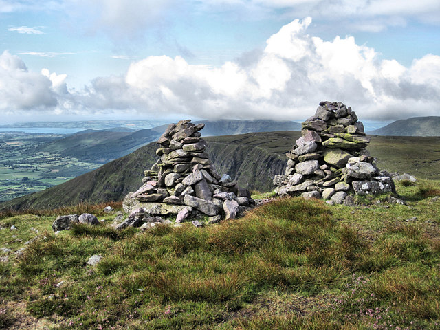 KnockaunapeebraMountain / peak · 2.6 mi
 Bawn in BarnankileBawn · 2.6 mi
 Coumaraglin MountainMountain / peak · 2.8 mi
Other information
Photo: Credit not shown in the picture search · Rights wording not checked; contact us if this picture should be removed