What is recorded here
Situated in a low-lying landscape. An embanked circular enclosure (ext. diam. c. 35m) is depicted on the 1834 edition of the OS 6-inch map where it is truncated at NE by a NW-SW road and where it is described in gothic lettering as a ‘fort’. It was described locally as a mound with trees, but is no longer extant and is now occupied by farm buildings.
From the National Monuments Service (Archaeological Survey of Ireland) record MO032-009
The monument record does not grant public access. Check the route and ask the landowner before entering private land.
- What survives
- Recorded monument
Places near here
Photo credits
- National Inventory of Architectural Heritage
- Cathar11, Wikimedia Commons · CC0
- Kieran Campbell, Geograph · CC BY-SA 2.0
- Eric Jones, Geograph · CC BY-SA 2.0
- GilPe, Wikimedia Commons · CC BY-SA 4.0
 bridge970 yd
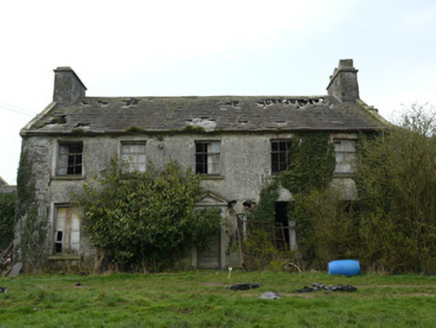 RocksavageCountry house · 1641 yd
 Round Tower1.5 mi
 Mannan Castle (in ruins)Castle, Anglo-Norman masonry castle · 4.4 mi
 Promontory fortPromontory fort, inland · 5.5 mi
 Roche CastleCastle, Anglo-Norman masonry castle · 6.2 mi
 Ballsmill Amenity LandPicnic place · 6.9 mi
 Dundalk CentralHeritage attraction · 7.7 mi
 Maid of ErinMemorial · 8.1 mi
 Irish Hunger StrikersMemorial · 8.2 mi
 Louth County MuseumMuseum · 8.3 mi
 Mass Rock Loop TrailWalking route · 8.8 mi
More archaeology and monuments in County Monaghan · All of County Monaghan
What do you know about this place?